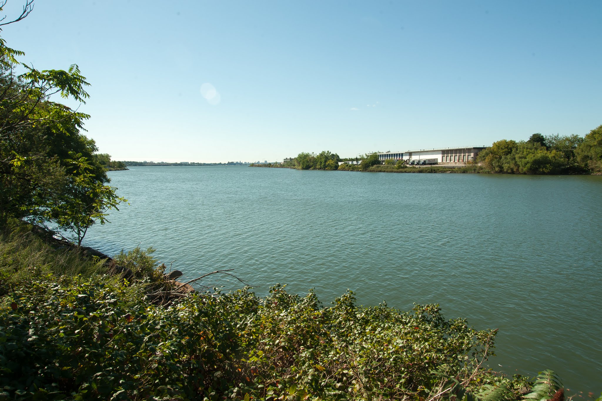
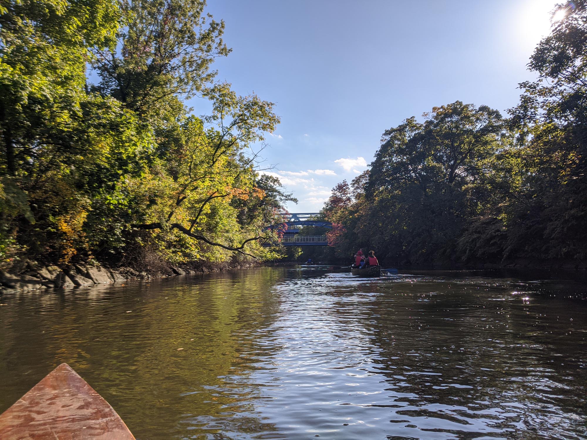
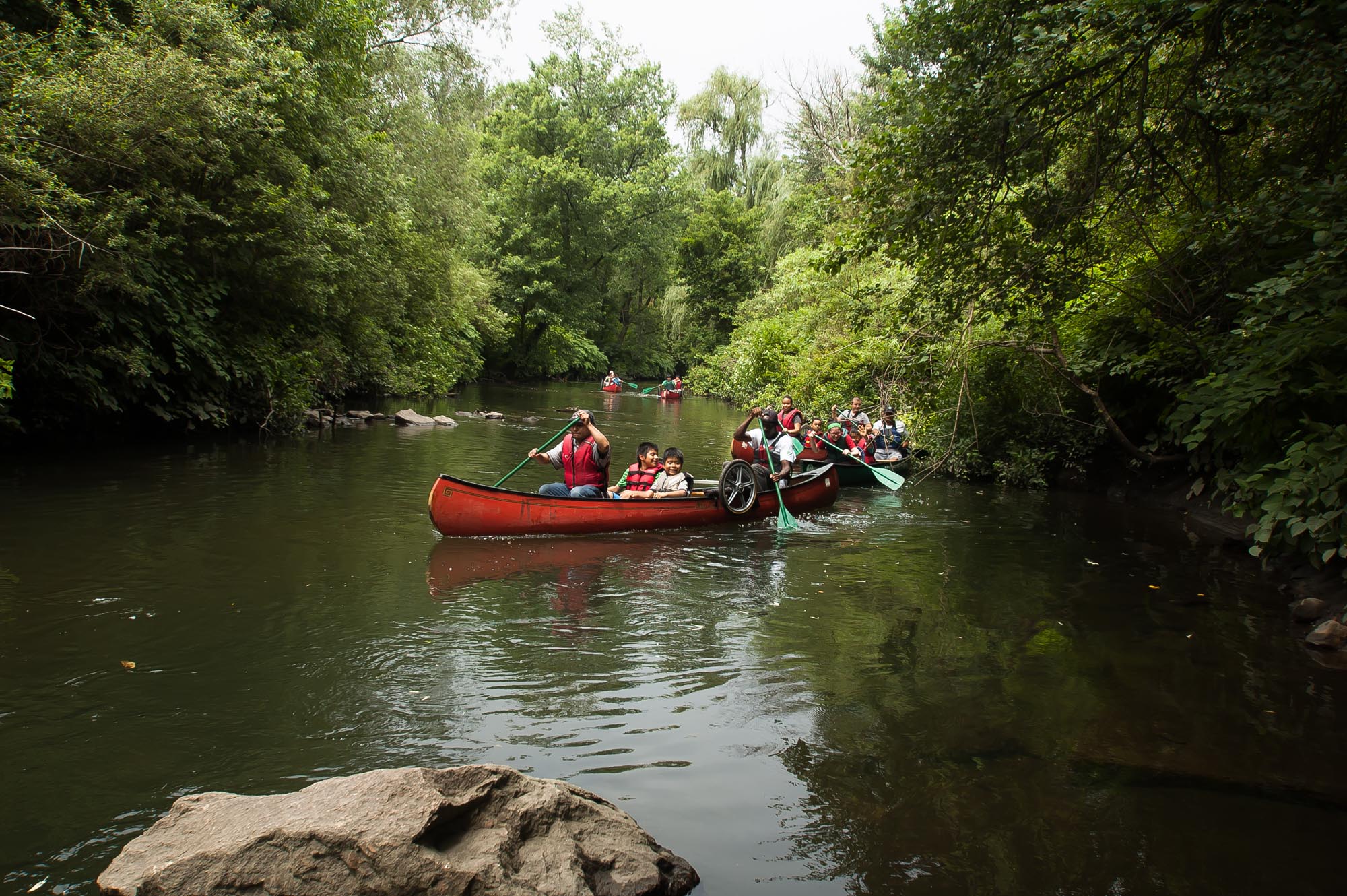
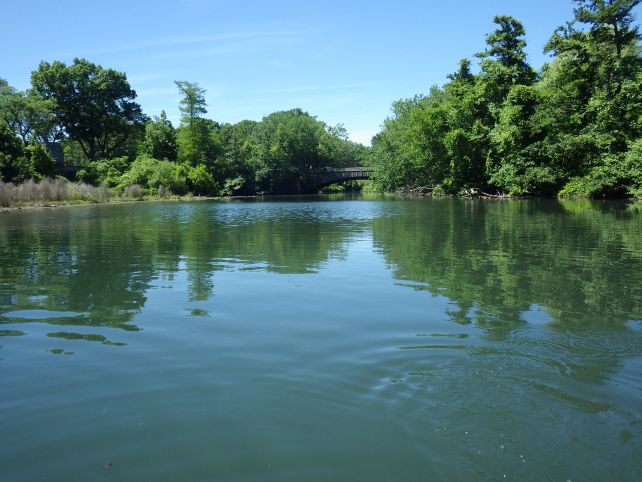
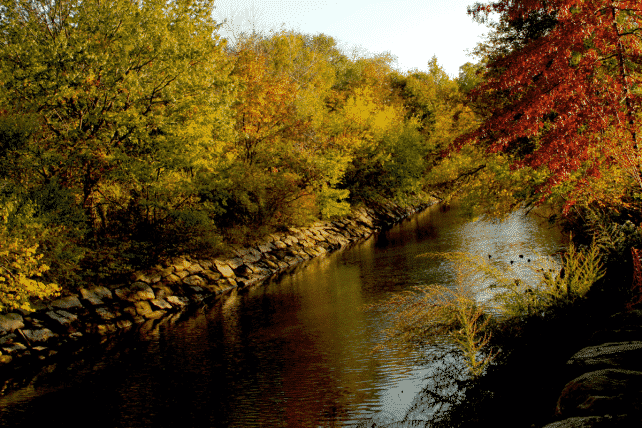
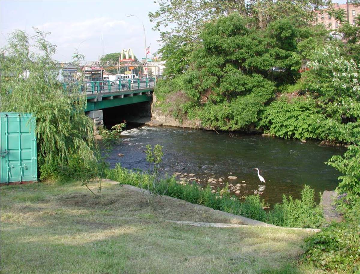
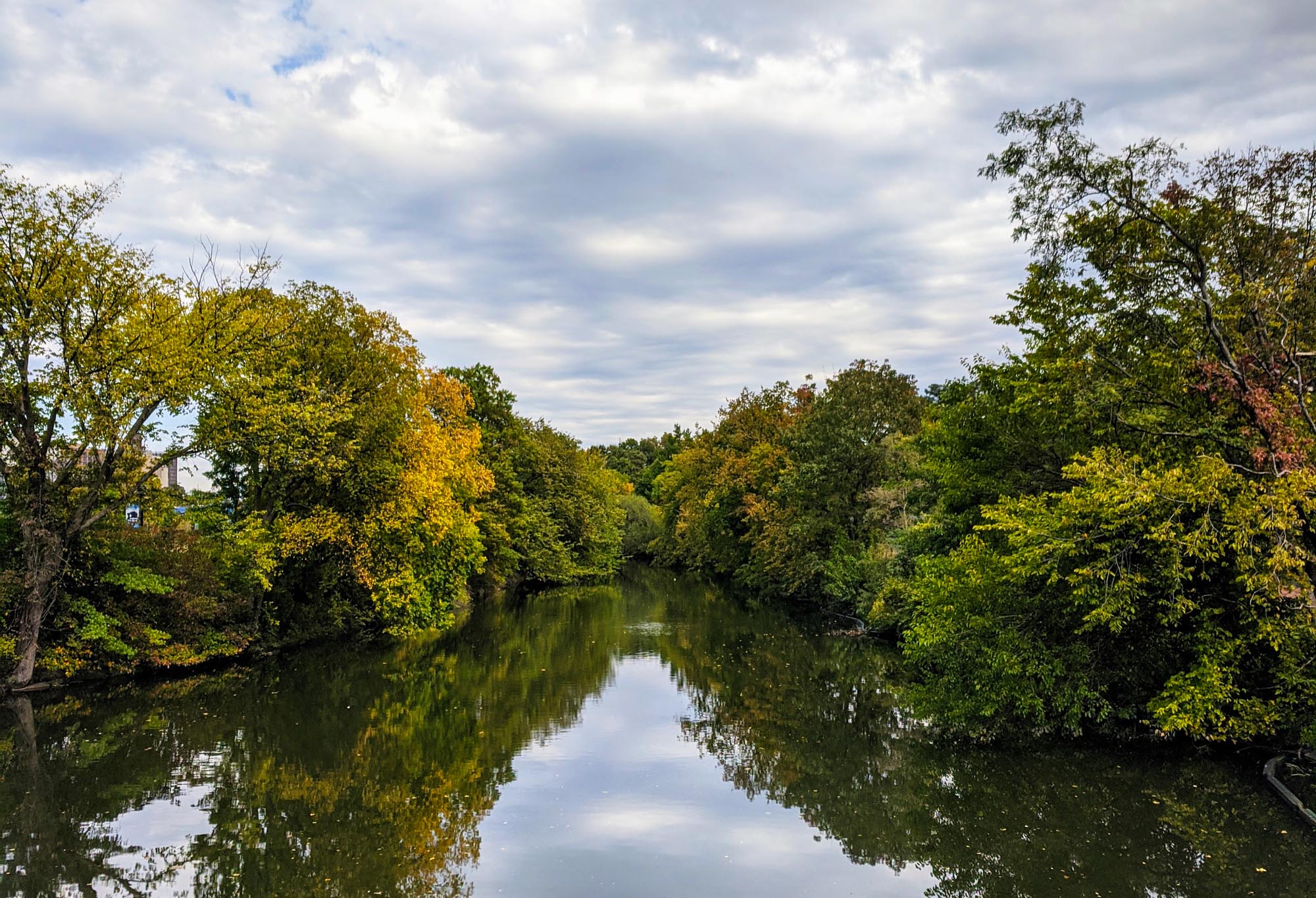
One of the little-known marvels of the New York City landscape, the 23-mile Bronx River, winds down through southern Westchester and the Bronx. Sourced from the Kensico Reservoir, it is the only major watercourse within the city limits that is not entirely tidal.
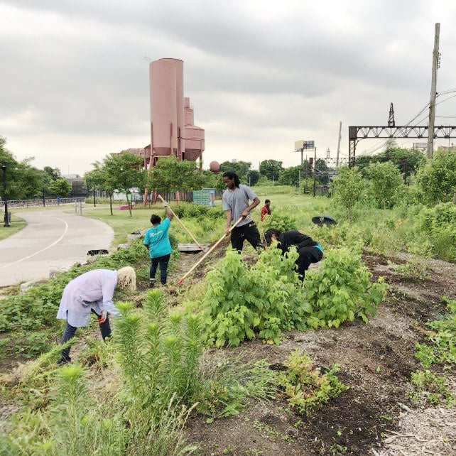
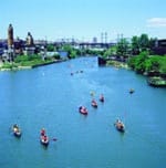
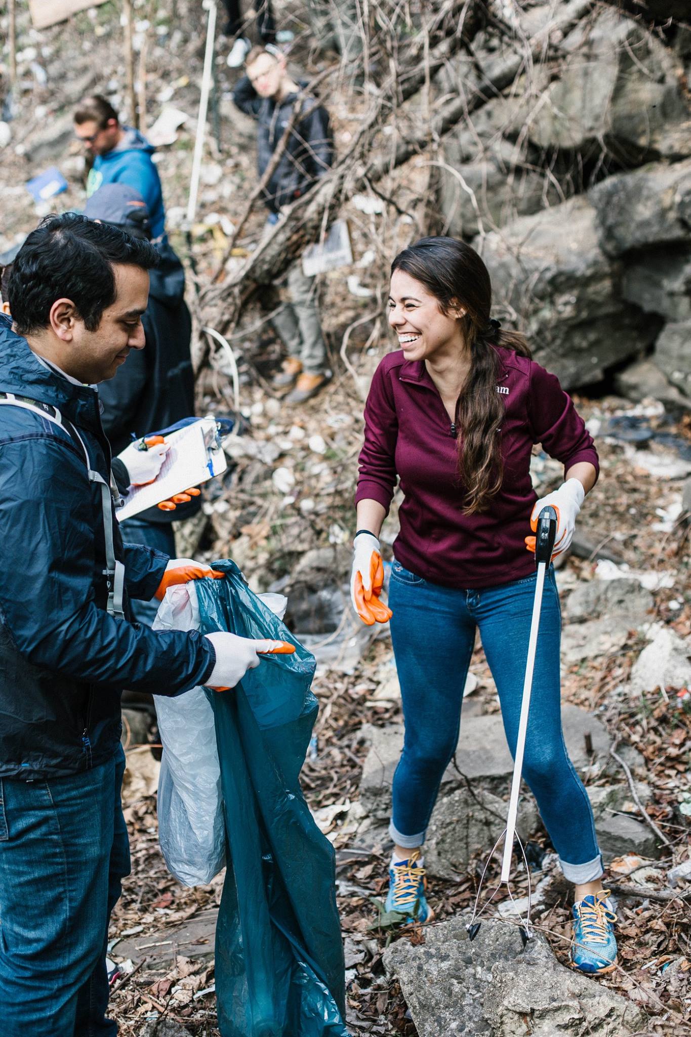
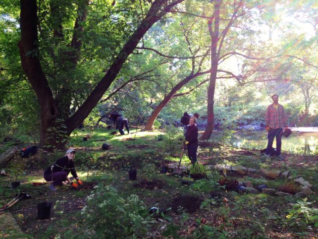
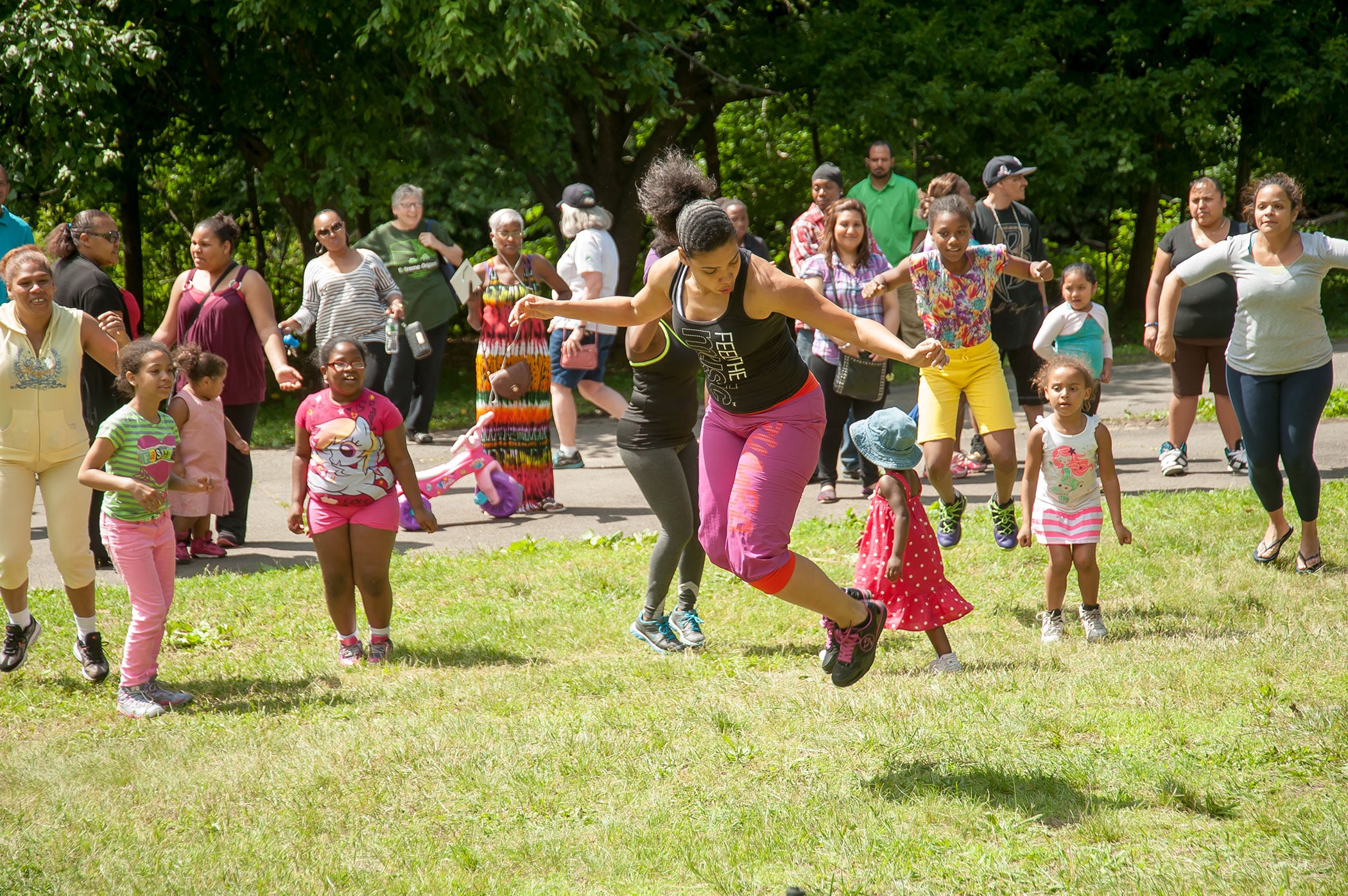
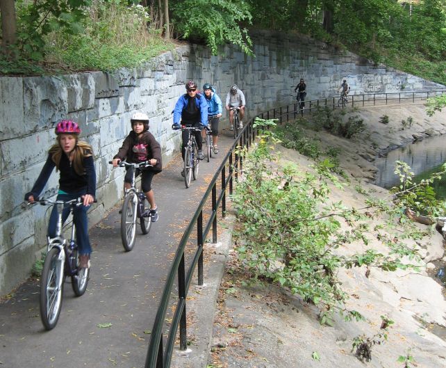
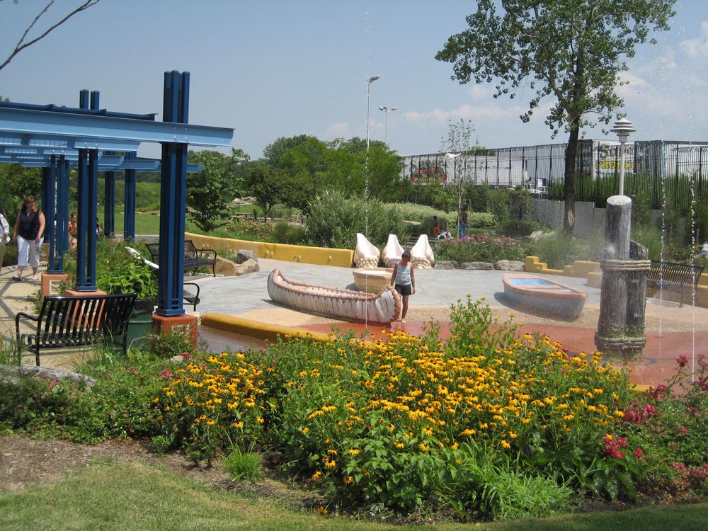
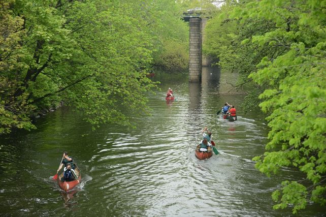
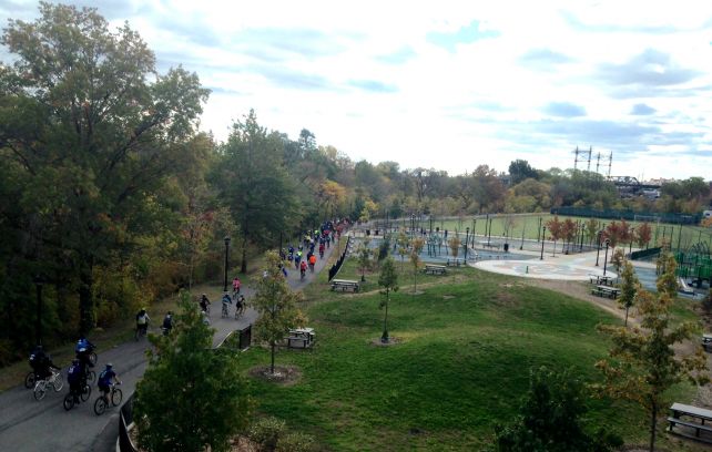
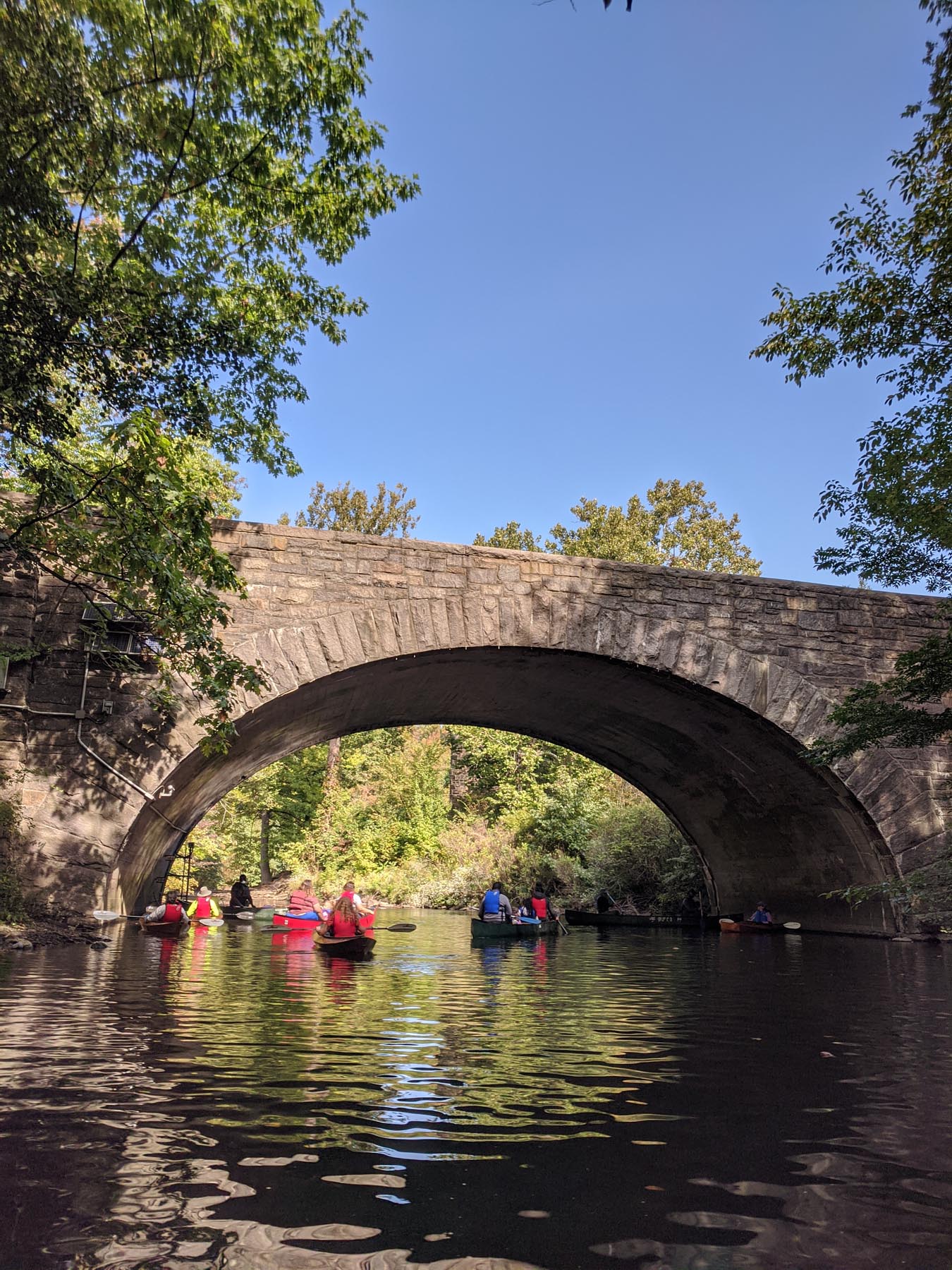
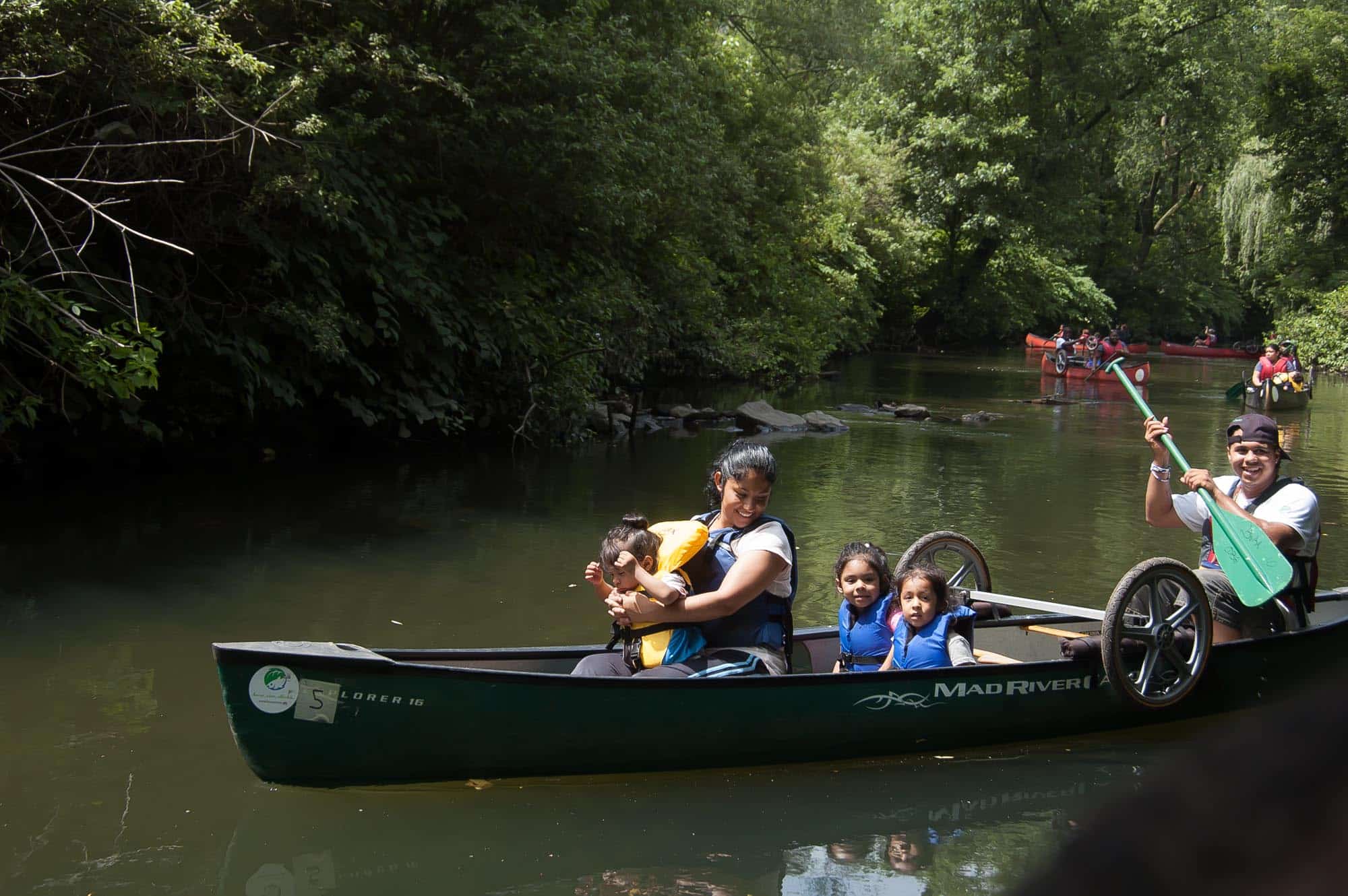
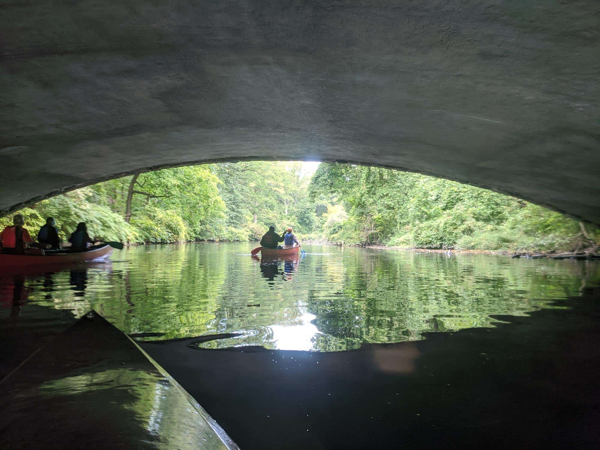
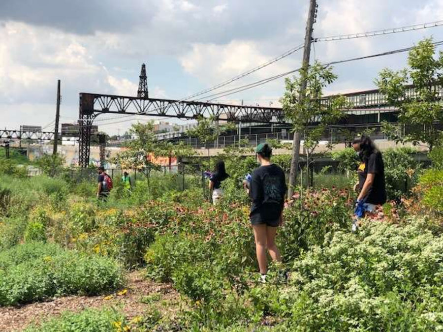
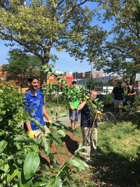
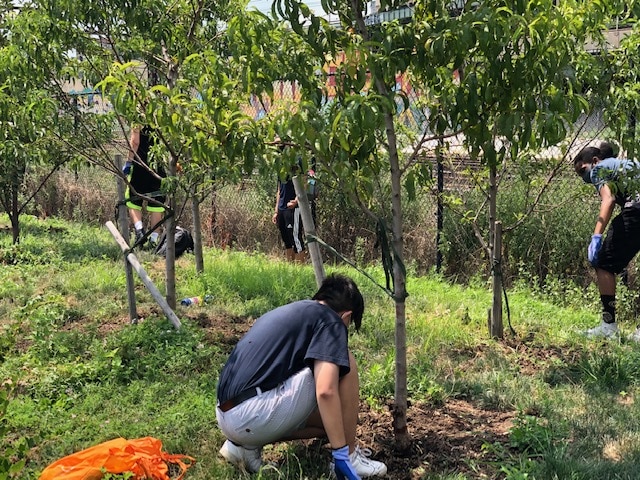
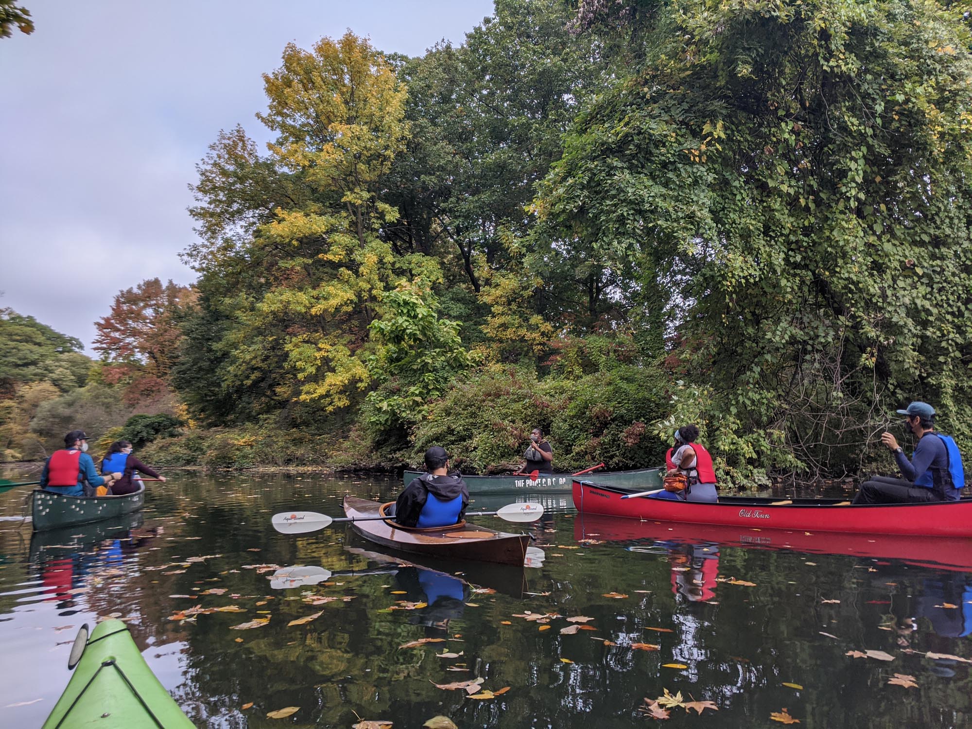
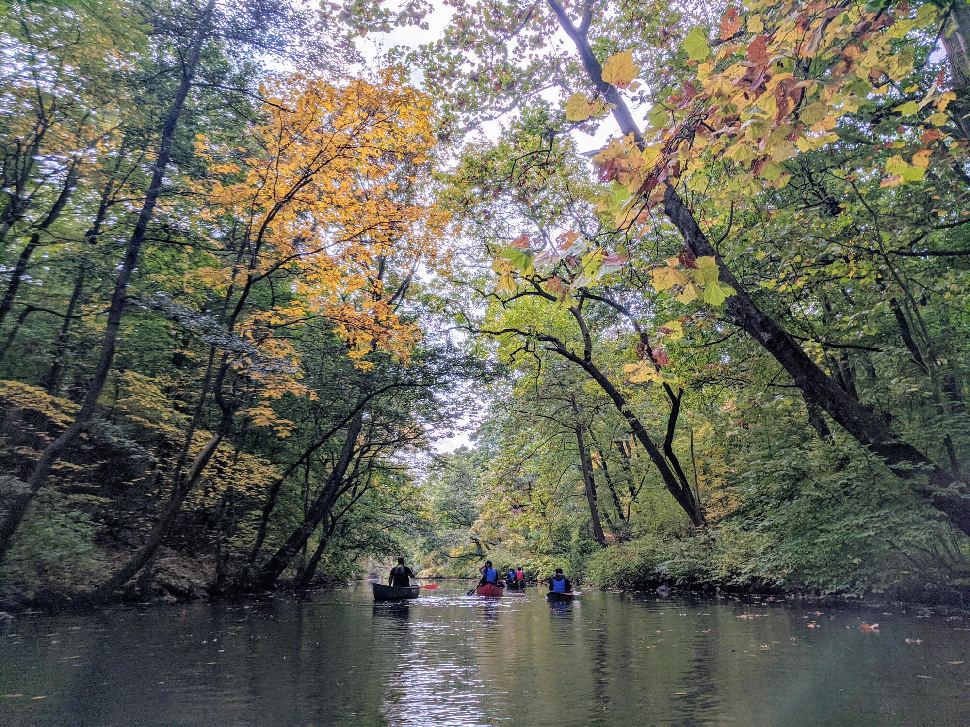
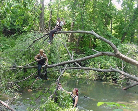
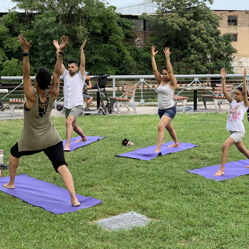
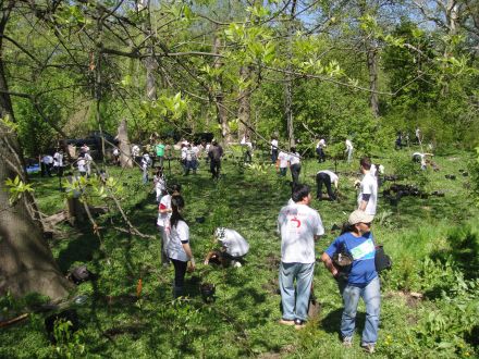
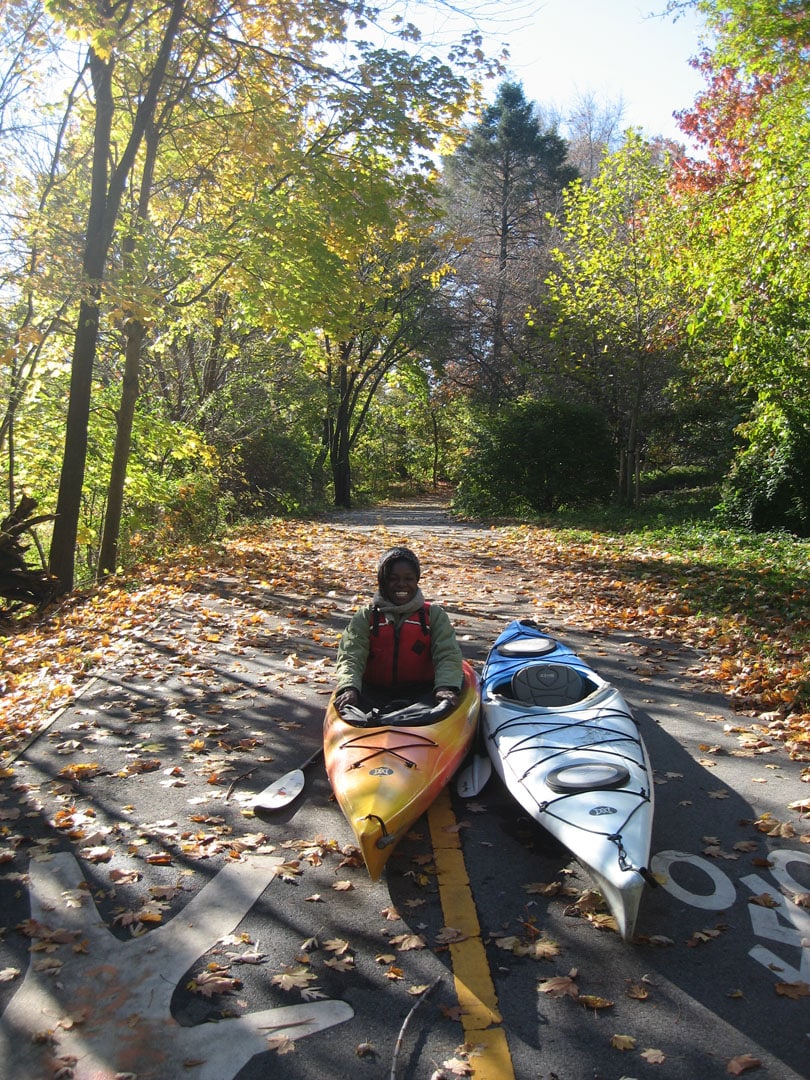
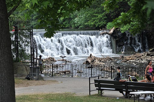
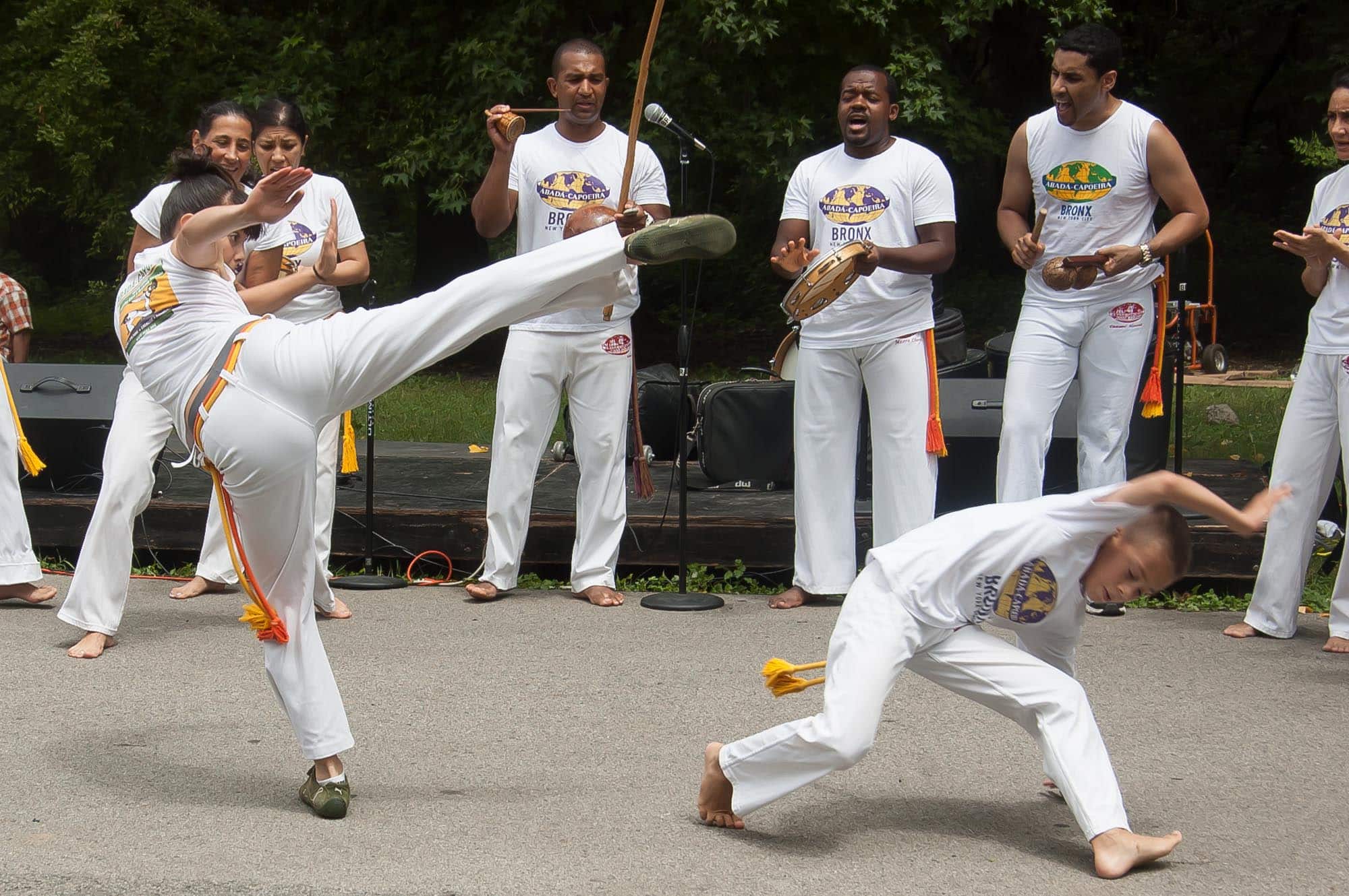
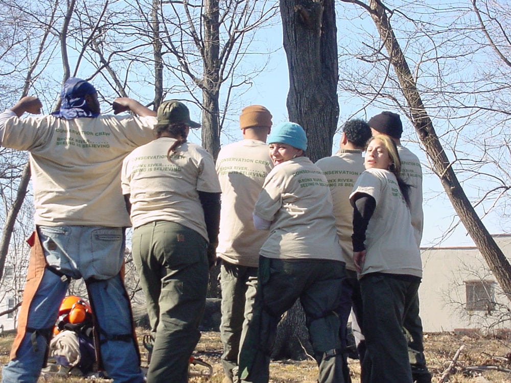
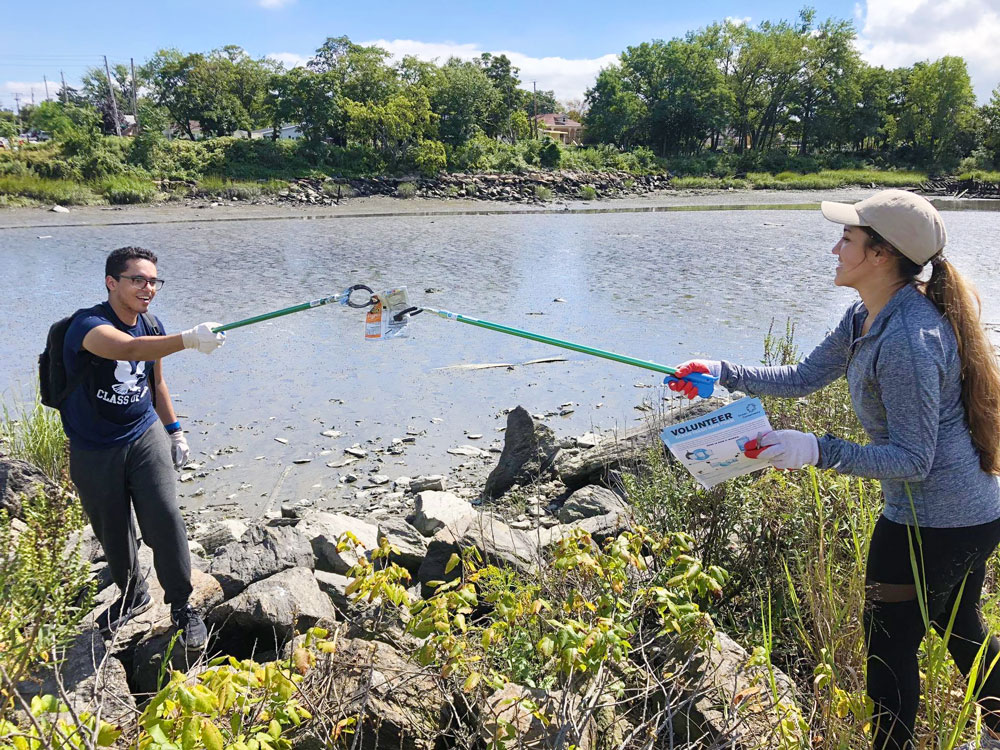
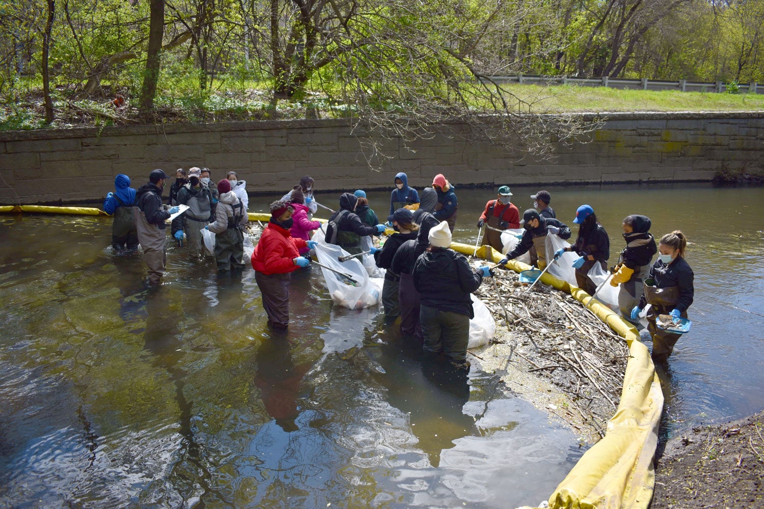
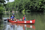
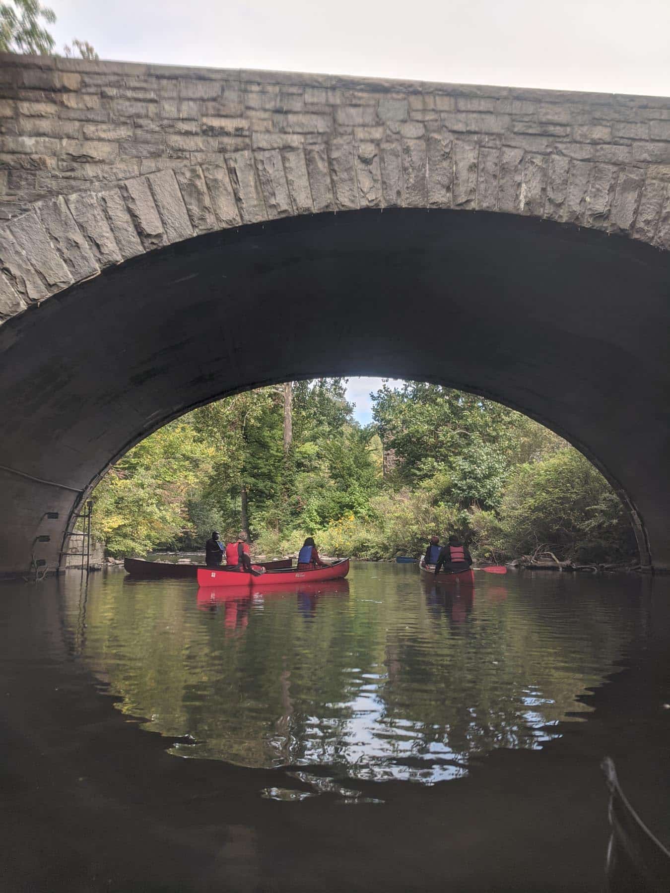
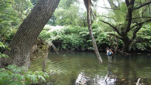
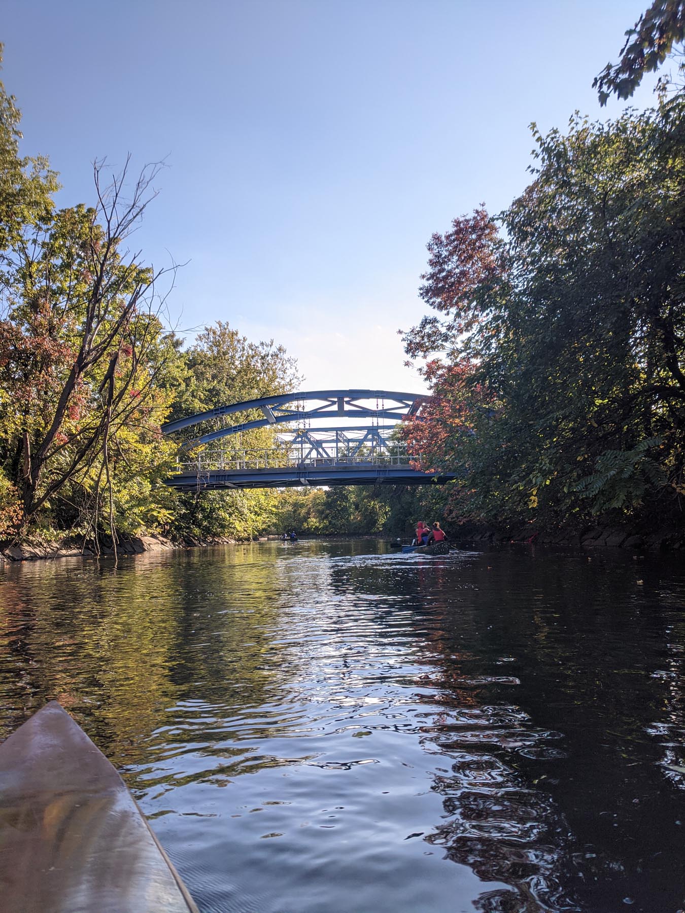
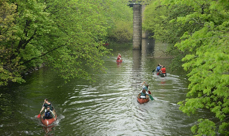
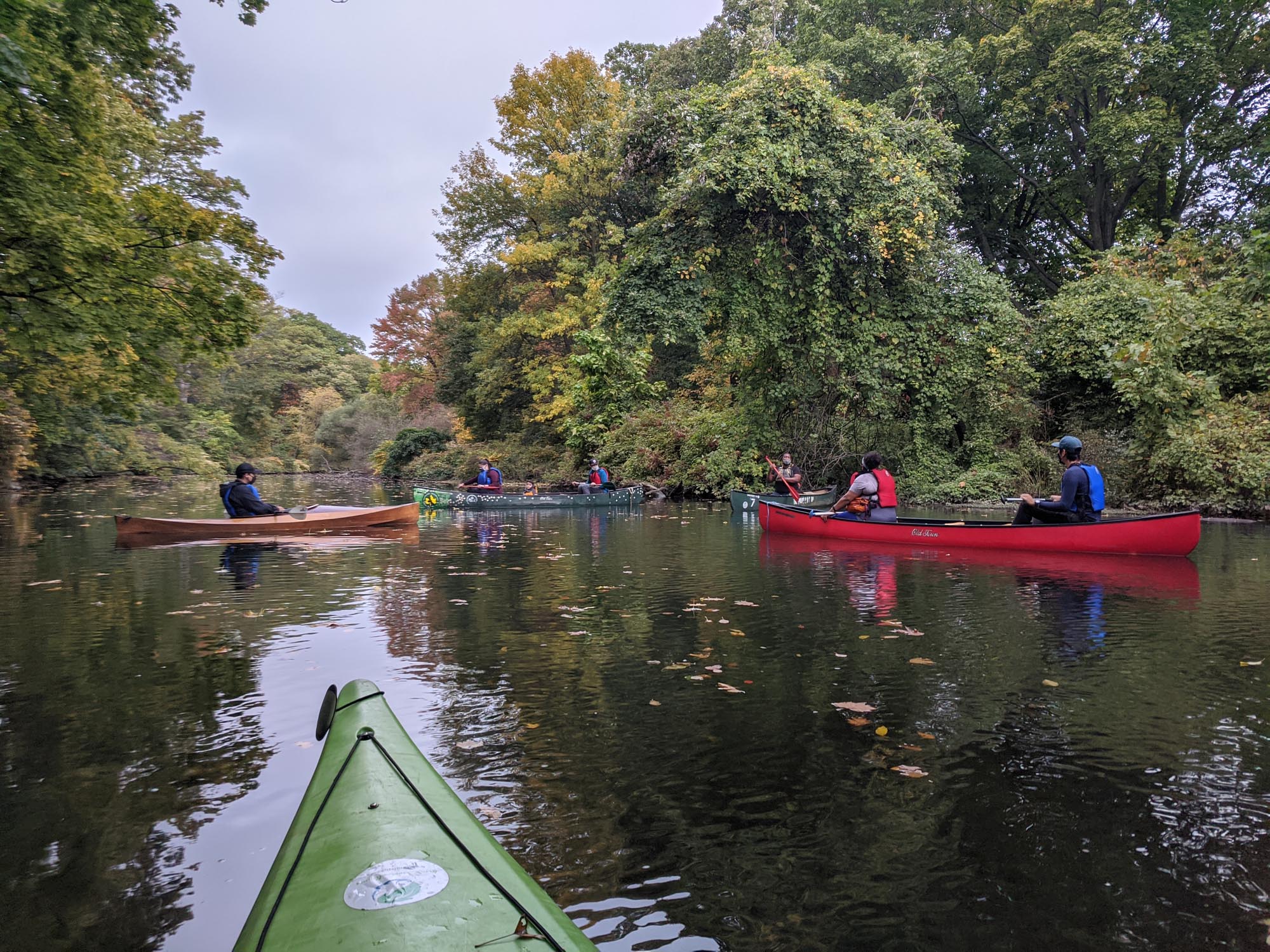
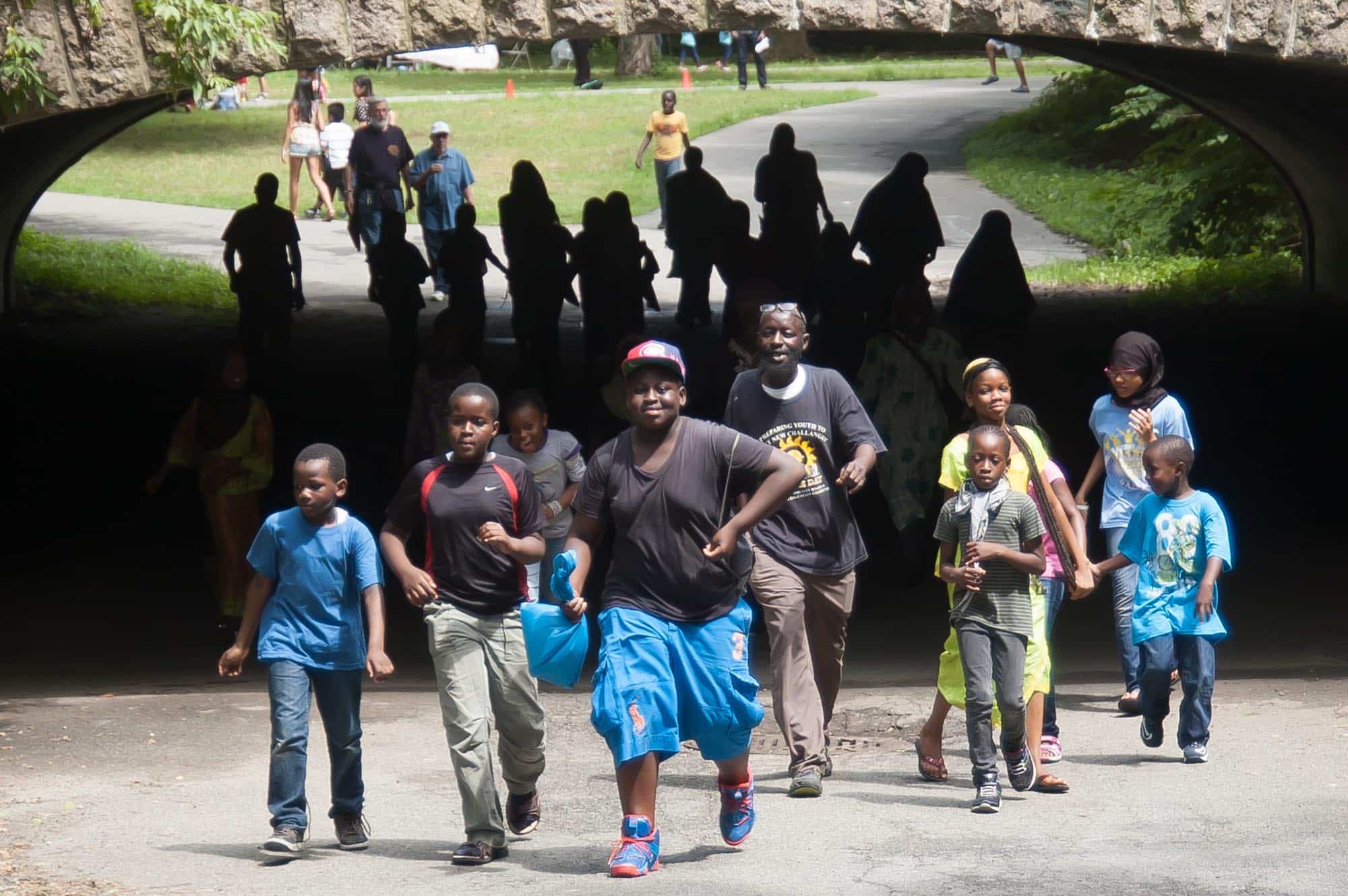
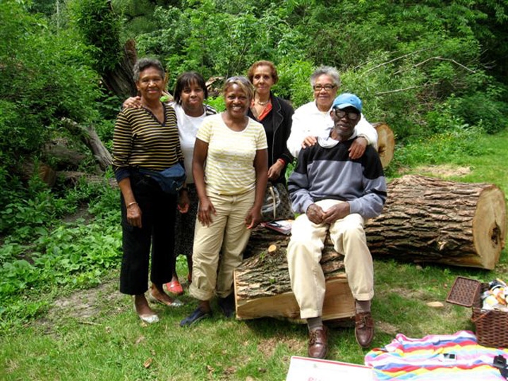
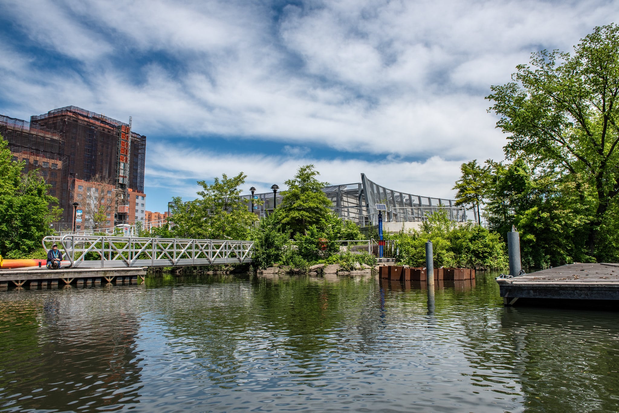
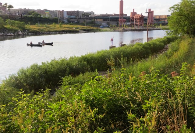
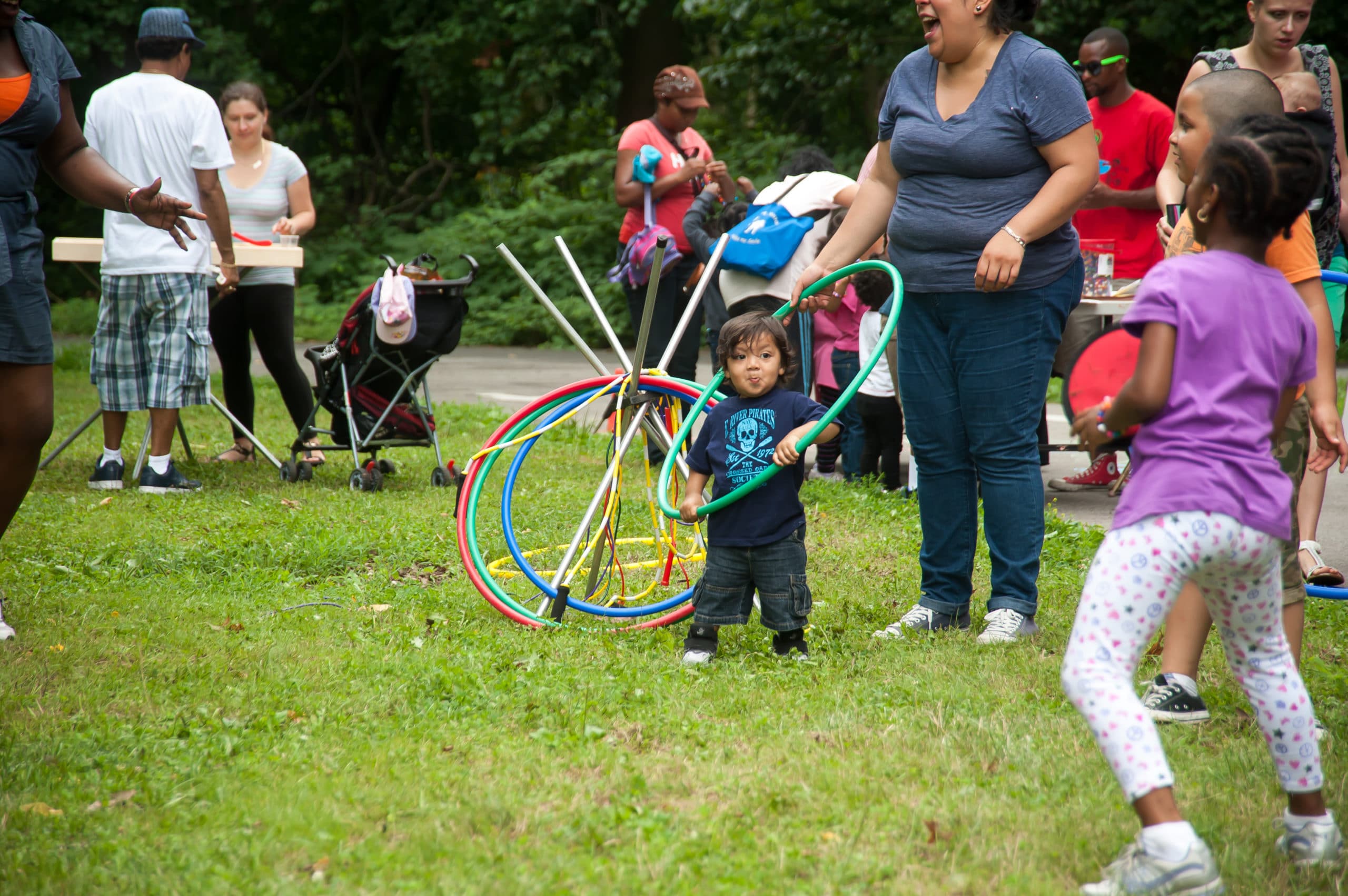
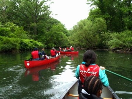
This corridor of greenery— a peaceful area fishing, strolling, biking, boating, and connecting with nature—has always been a source of life. But it wasn’t always treated that way.
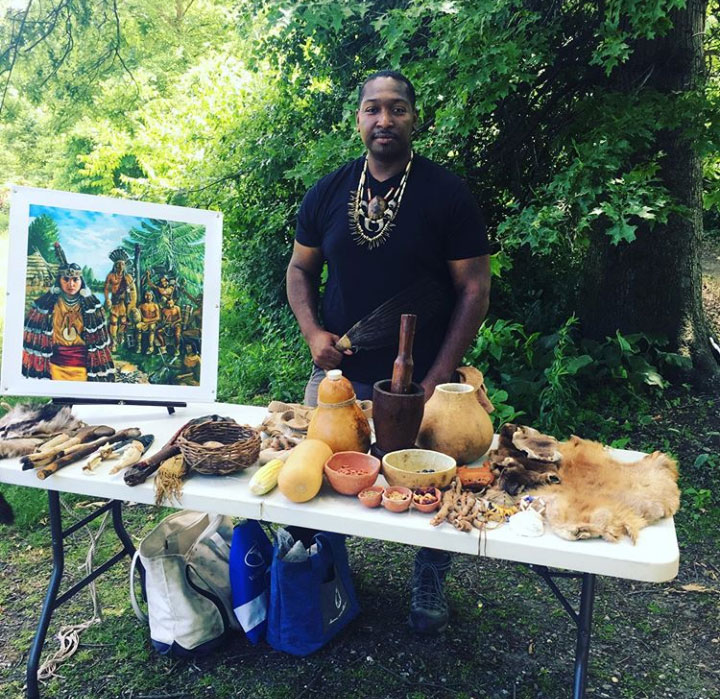
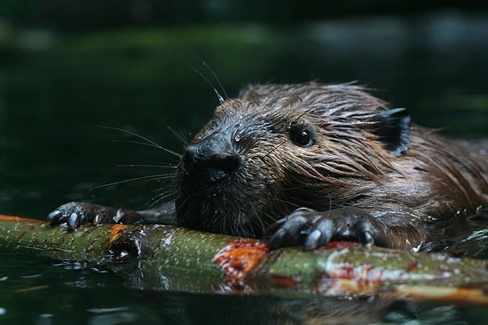
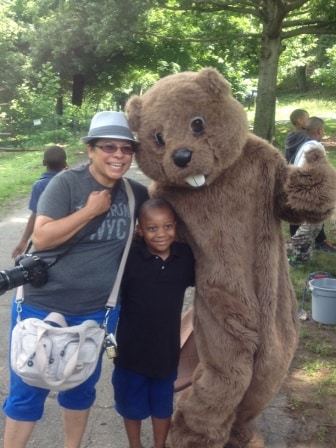
The river’s original people were the Mohegans, who lived and fished here. In the 1600s, European traders came to trap the sleek, fat beavers for fur, and Jonas Bronck purchased land from the Mohegans. A hundred years later, mills produced paper, flour, snuff, and more, powered by the river.
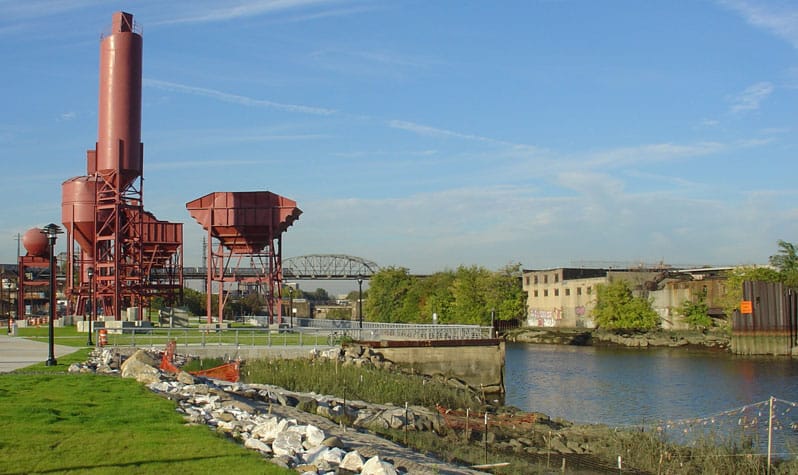
In the 1840s, the New York Central railroad helped the valley become an industrial corridor. The river became filthy, being called an “open sewer” by the end of the 19th century.
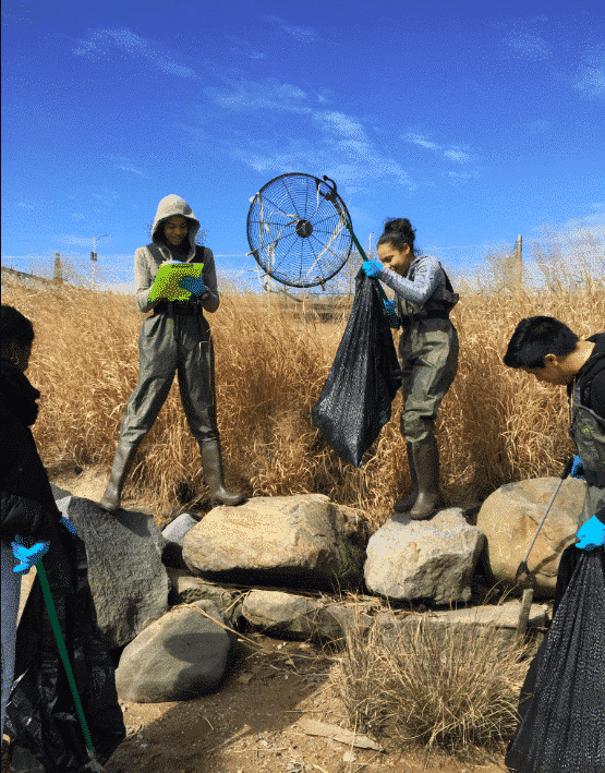
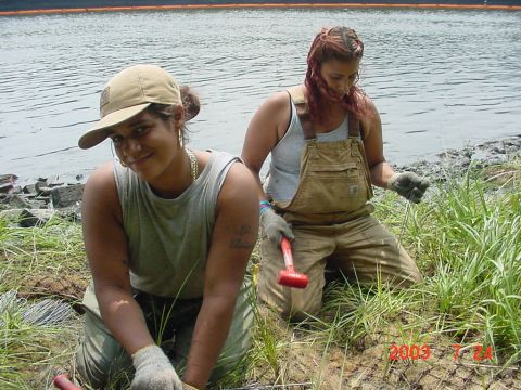
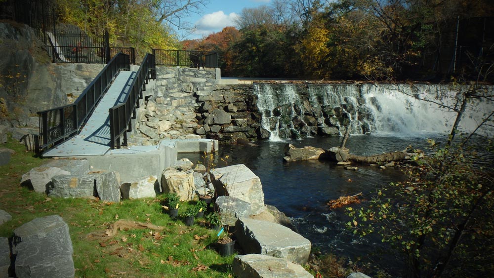
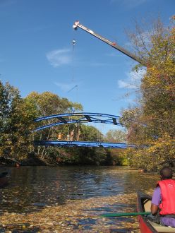
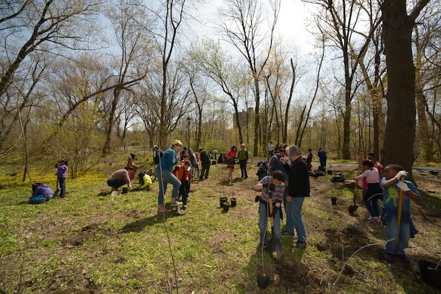
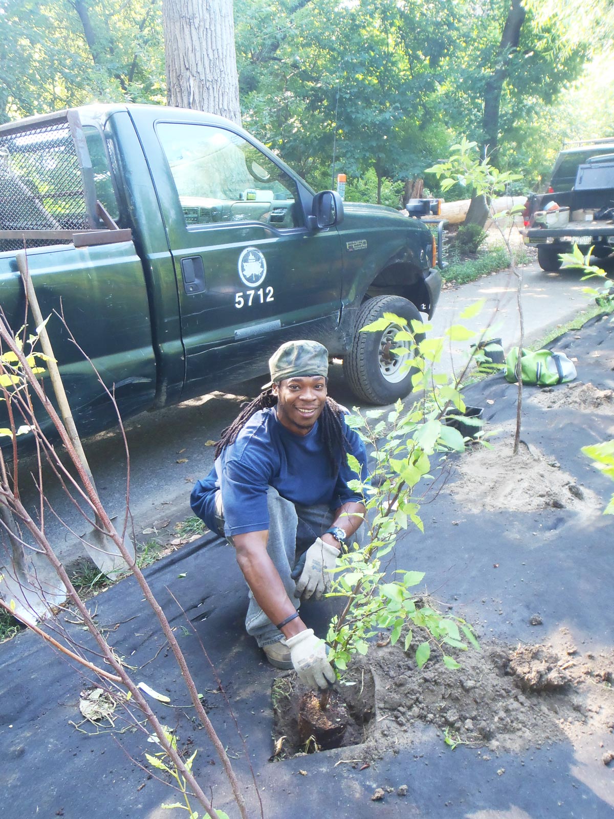
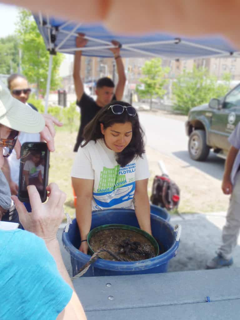
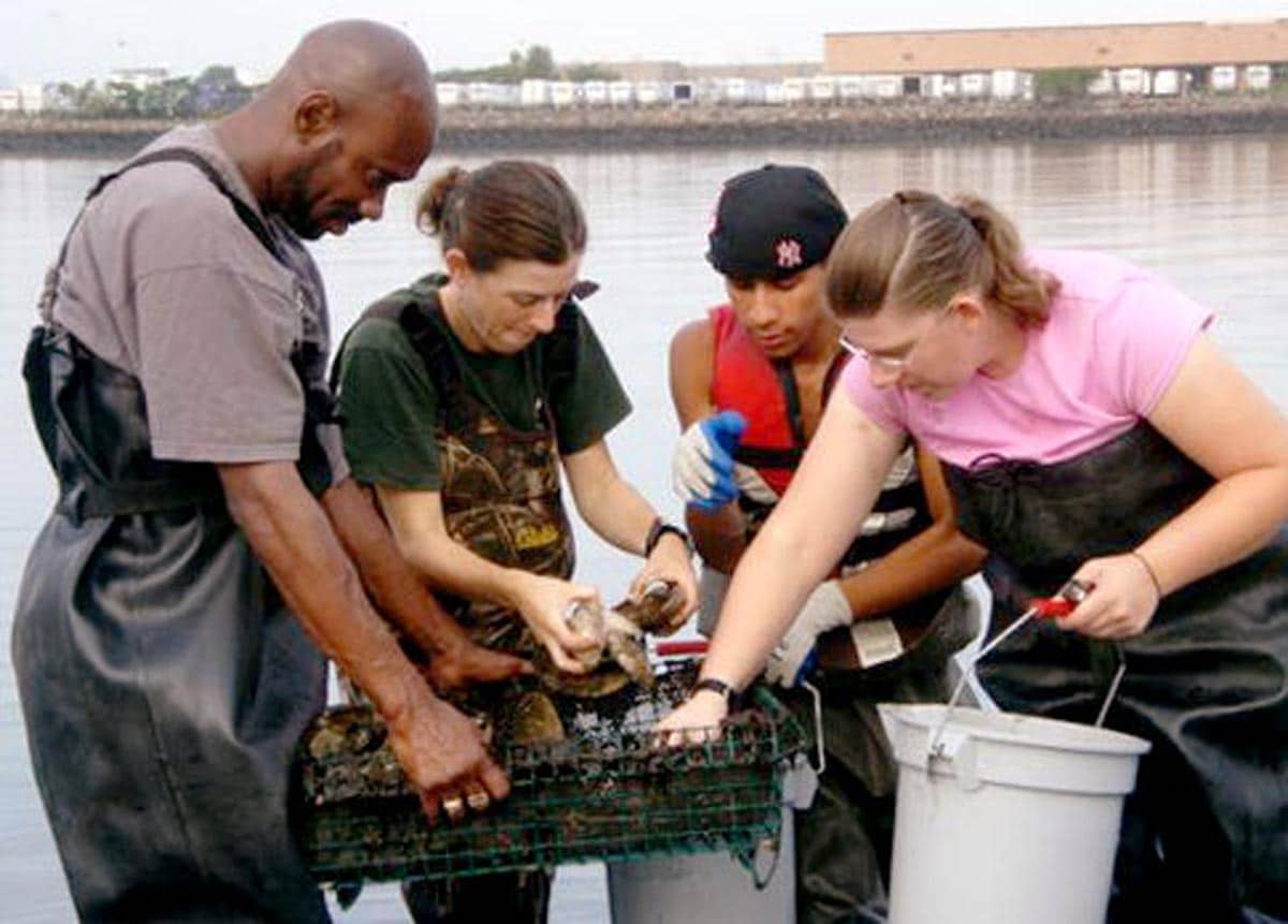
In the 1920s, creation of the parkway helped buffer some of the misuse. But it wasn’t until the 1970s that significant turnaround for the river started with the Bronx River Restoration. The Bronx River Alliance expanded their work at the turn of the 21st century.
Deepen your connection to the river by discovering more about river’s history.
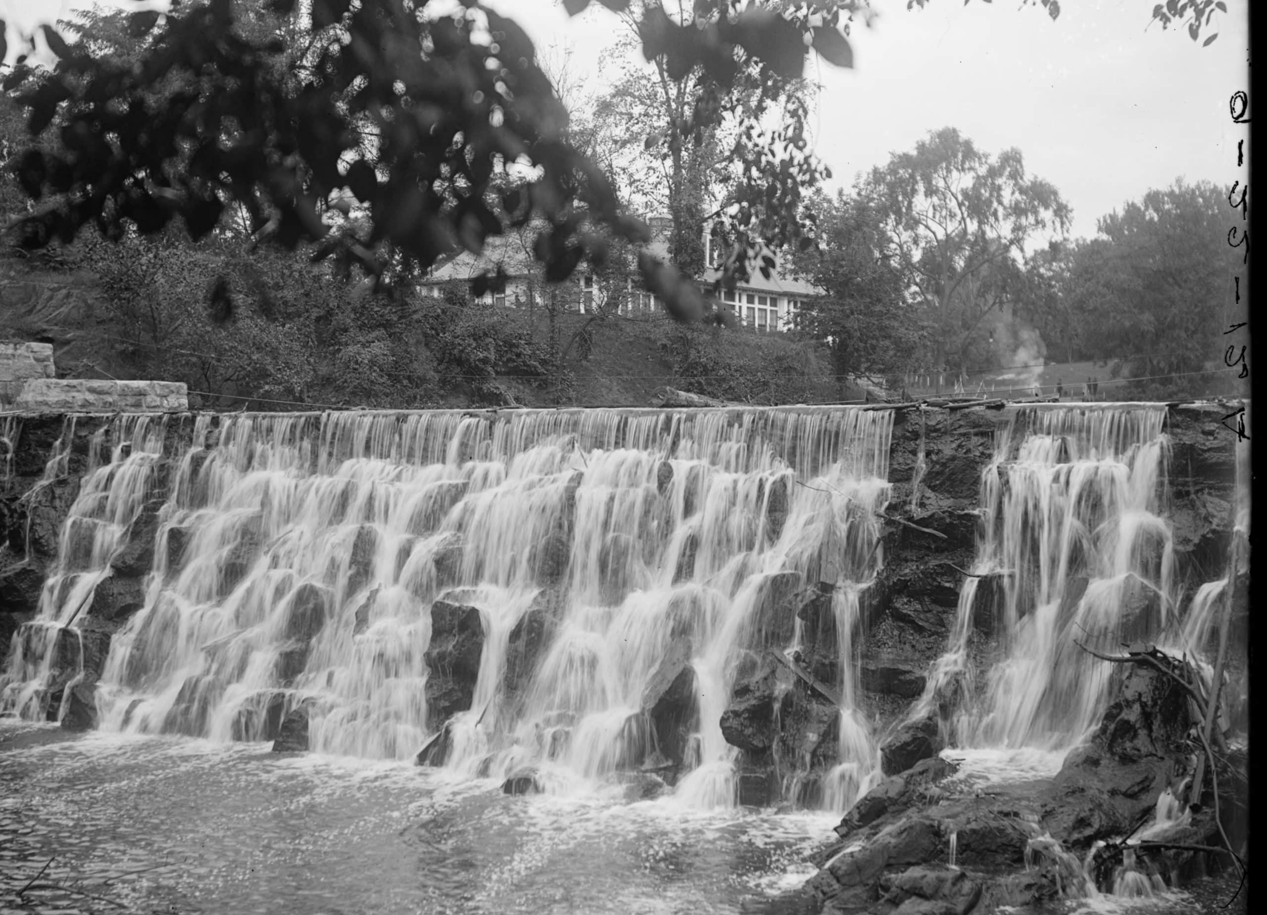
Waterfall Bronx River at E. 180th Street New York City undated ca. 1882-1919 - New-York Historical Society
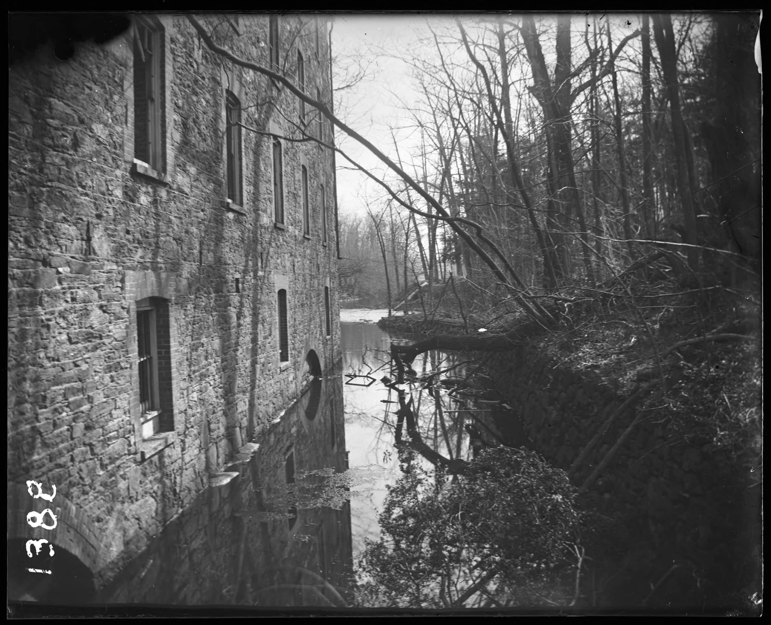
Wall of an old cloth printing mill along the Bronx River Bronx N.Y. 1899 - New-York Historical Society
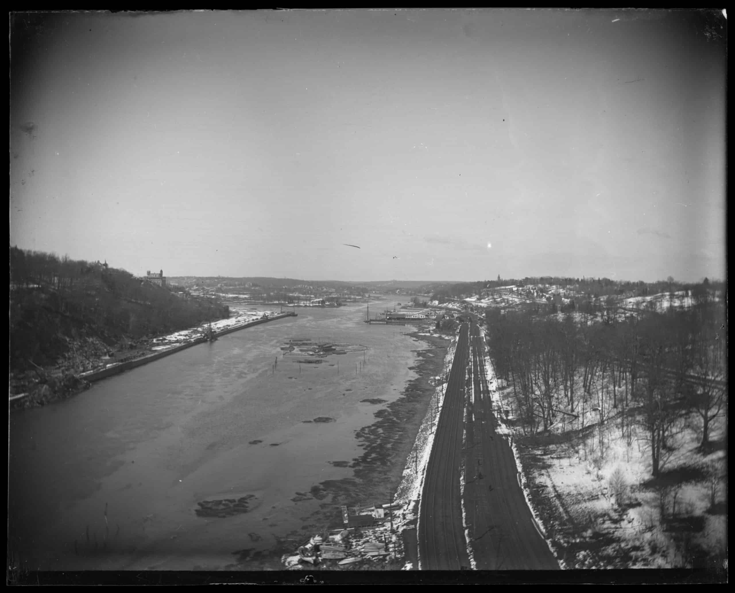
Unidentified winter river view Bronx N.Y. _ undated c. 1897 1918 - New-York Historical Society
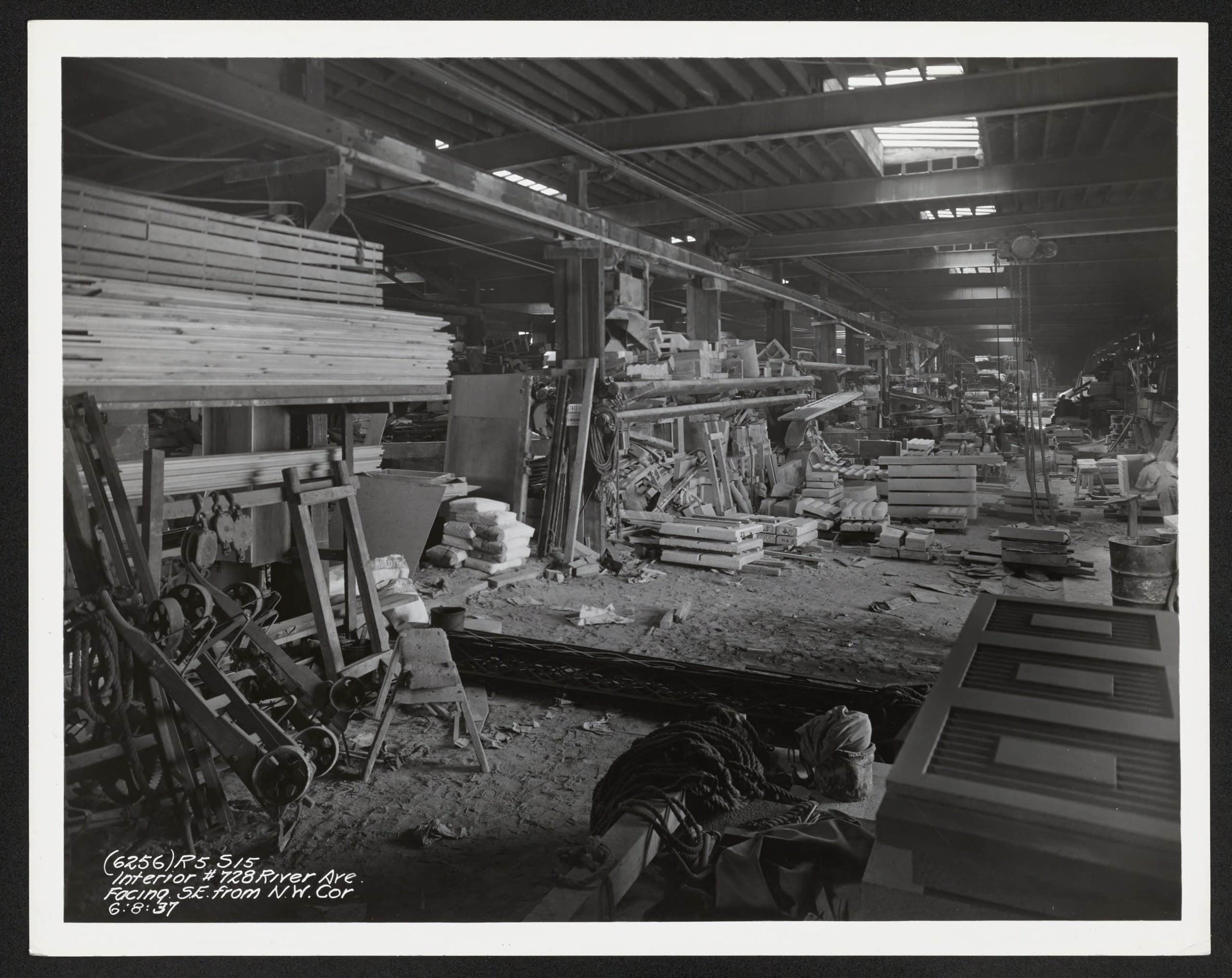
Interior of 728 River Avenue facing southeast from northwest corner Bronx - New-York Historical Society
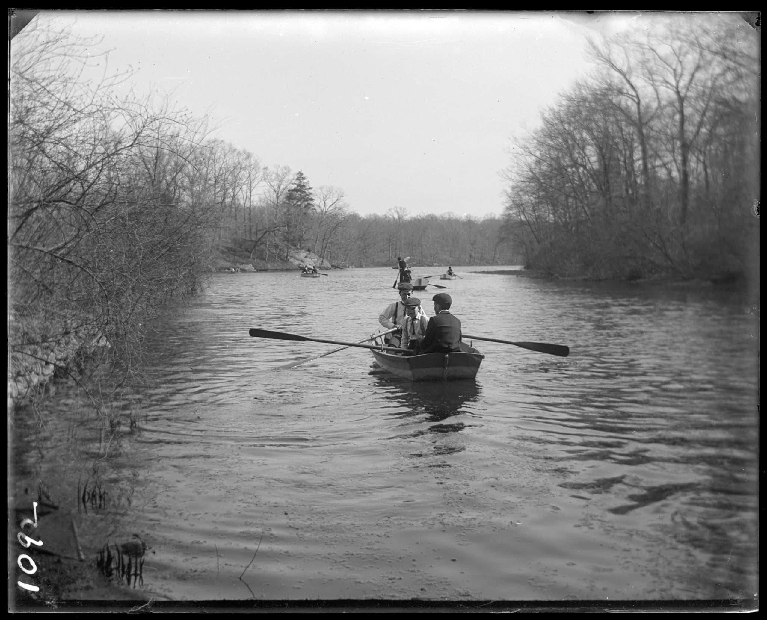
Row boats on the Bronx River Bronx N.Y. undated c. 1899 - New-York Historical Society
Row boats on the Bronx River Bronx N.Y. undated c. 1899 1 - New-York Historical Society
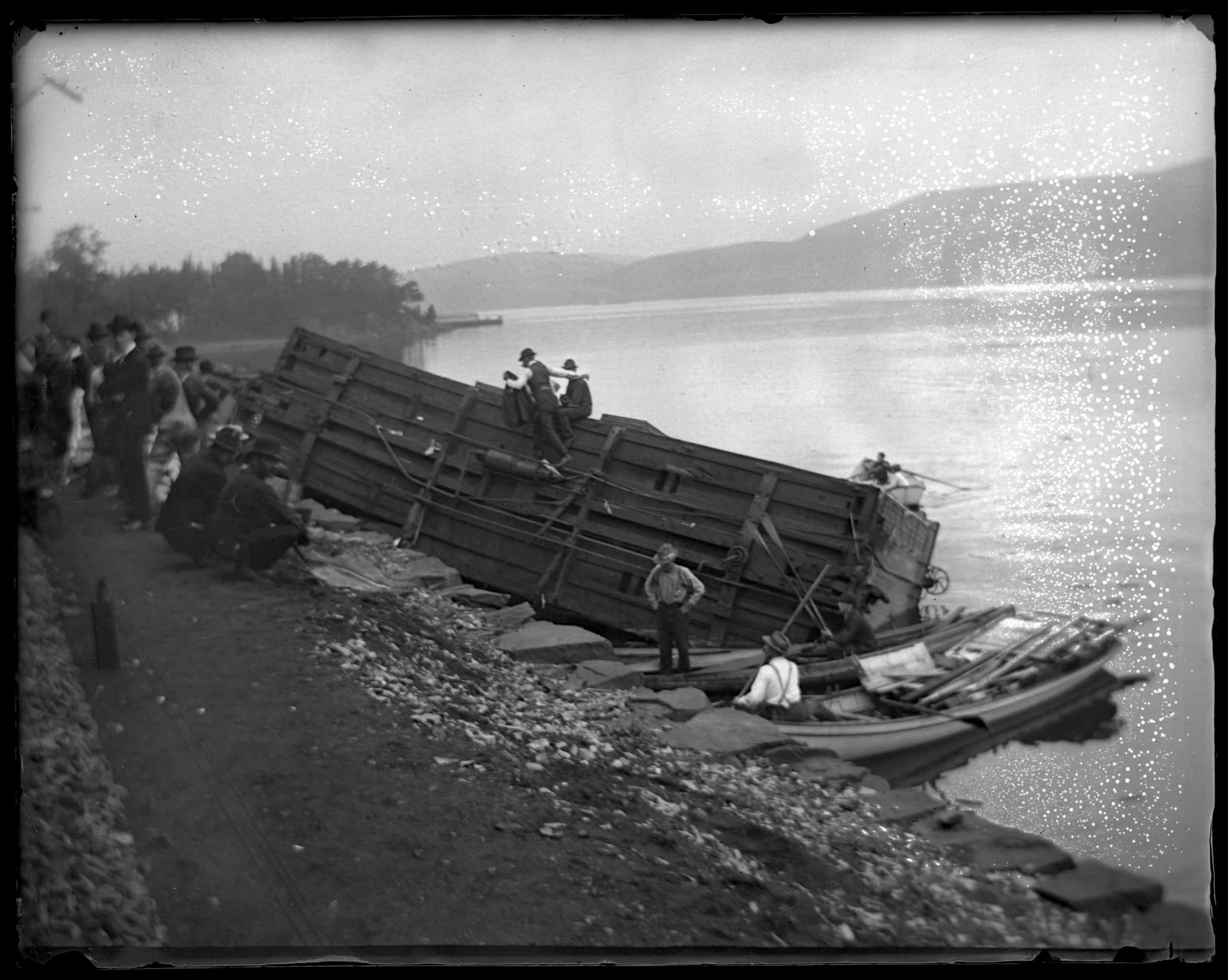
Derailed train car in the river Bronx N.Y. June 14 1902 - New-York Historical Society
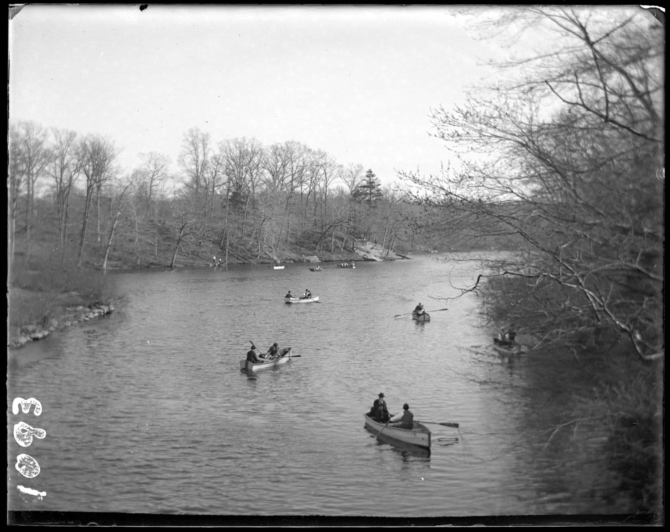
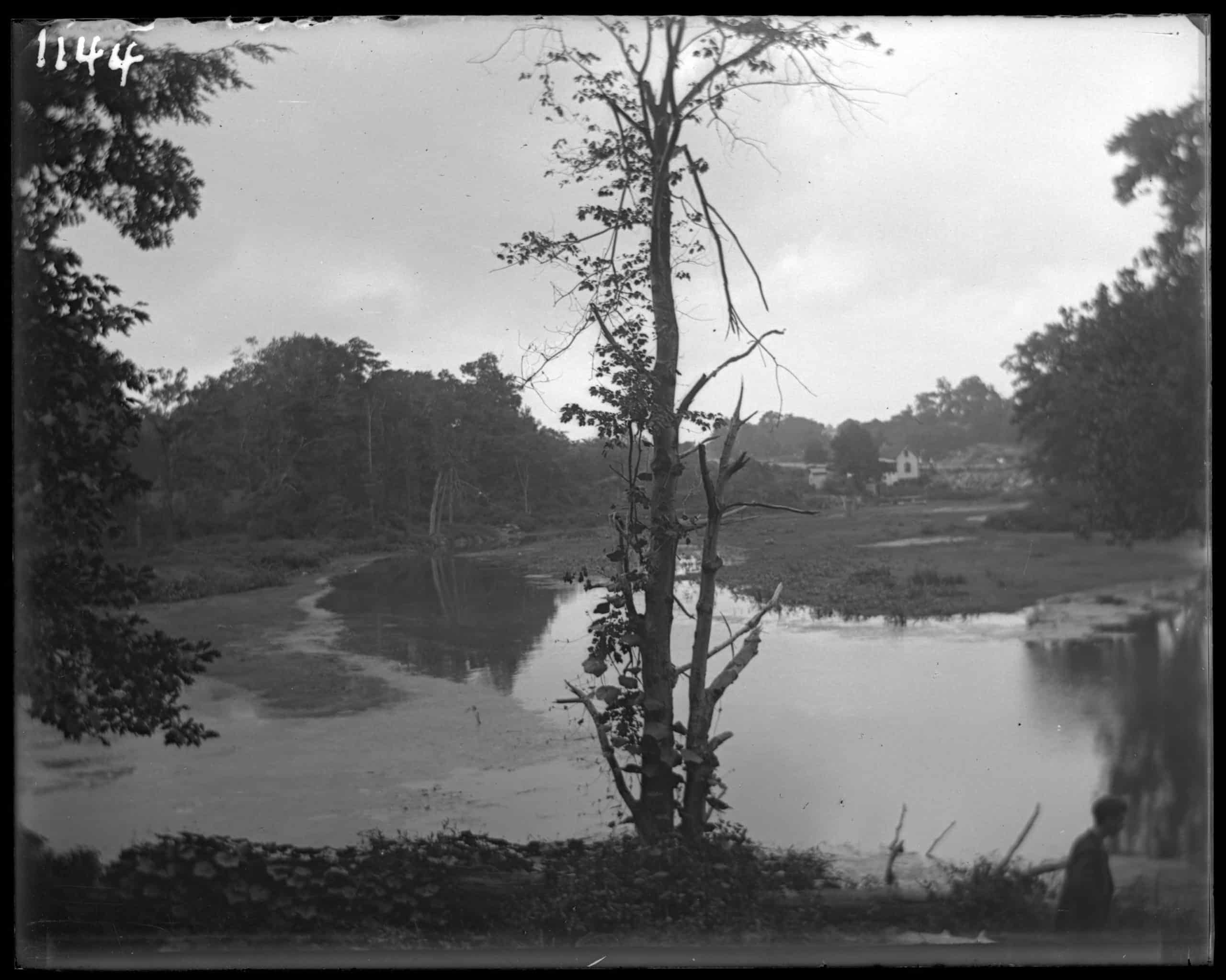
The Bronx River Bronx N.Y. undated c.1899 1902. Trees growing on small islands - New-York Historical Society
Bronx River New York Zoological Gardens the Bronx Zoo Bronx N.Y. 1899 - New-York Historical Society
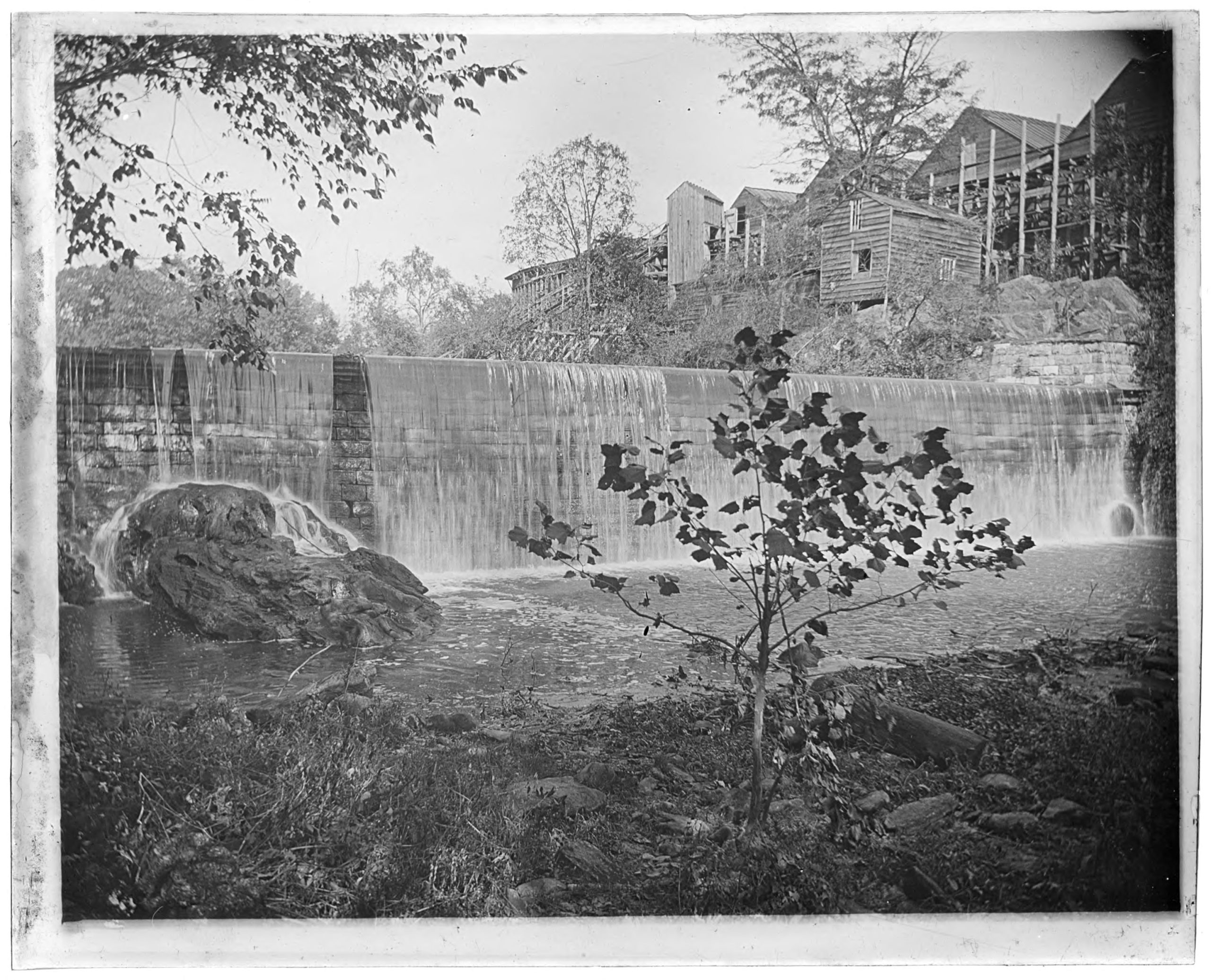
Bronx River falls stone dam Bronx Park Bronx N.Y. 1902 - New-York Historical Society
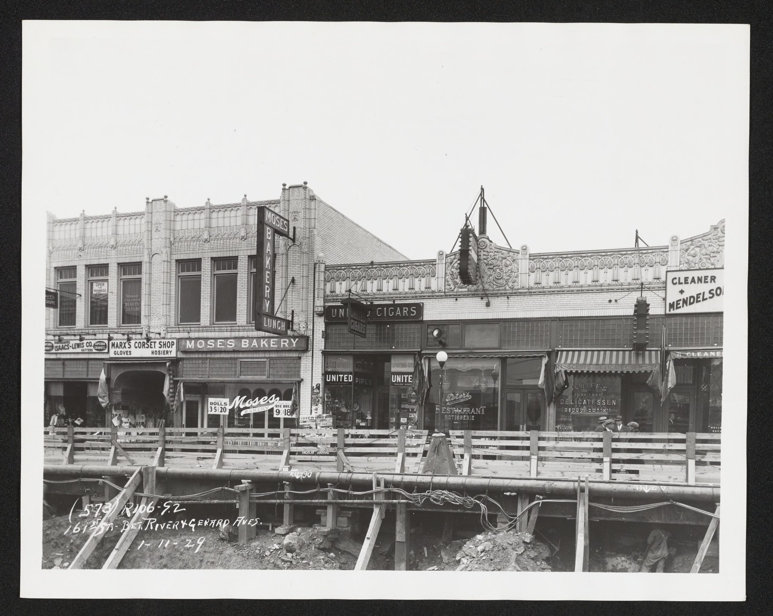
East 161st Street between River Avenue and Gerard Avenue Bronx - New-York Historical Society
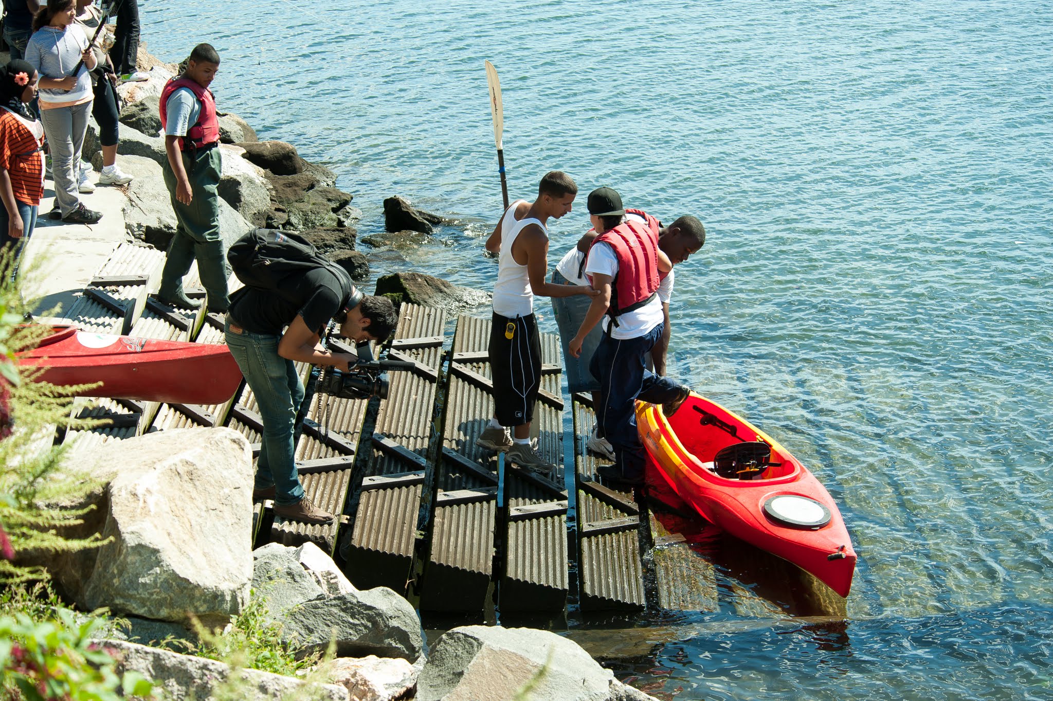
Planning to head to the river? What you need to know
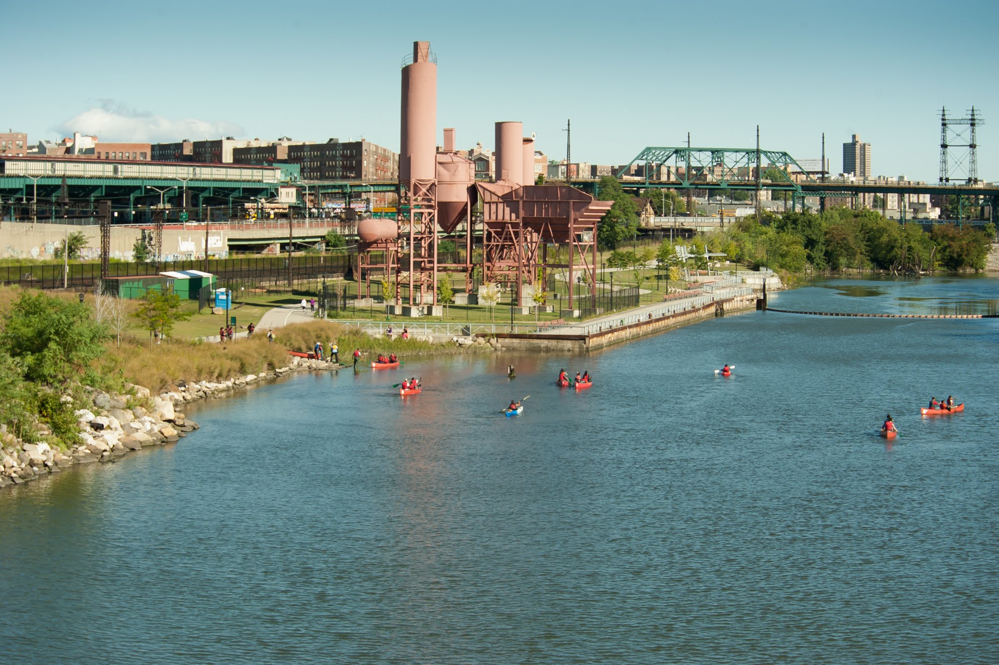
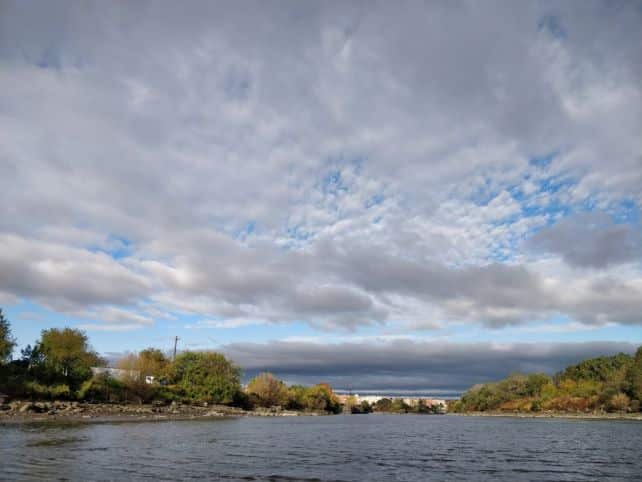
Before you paddle the Bronx River, check out this information about the tides and flow gauge of the water. While there’s plenty of beauty to enjoy if you get stuck, we’d like you to have a smooth ride!
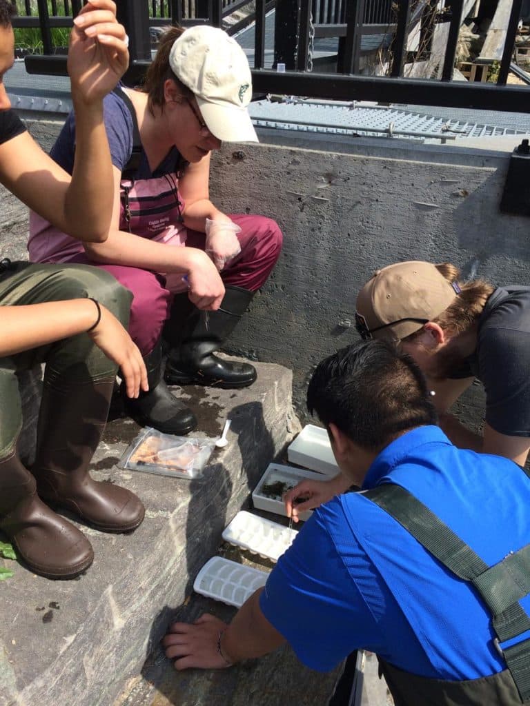
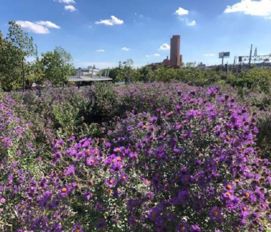
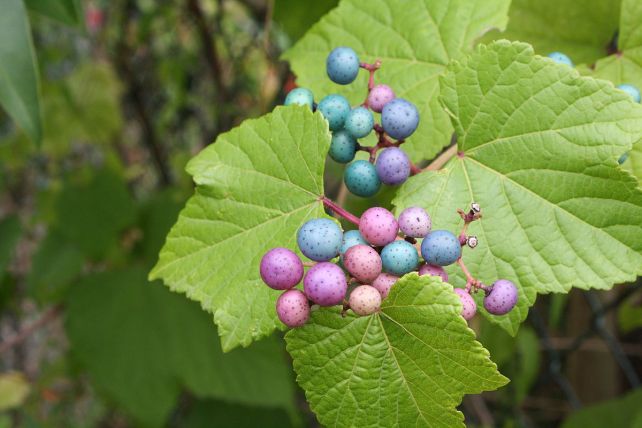
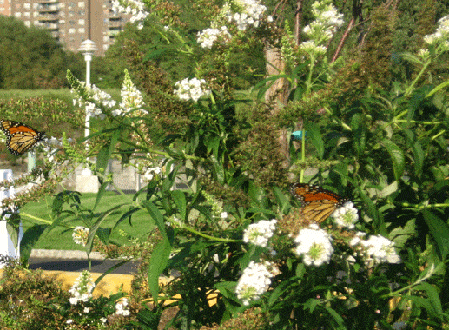
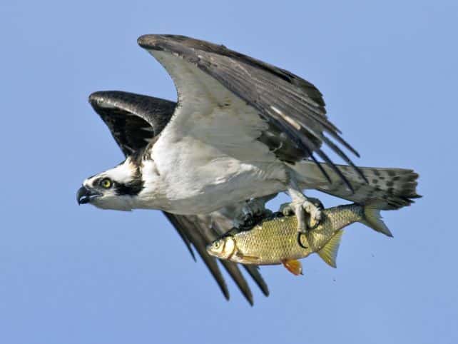
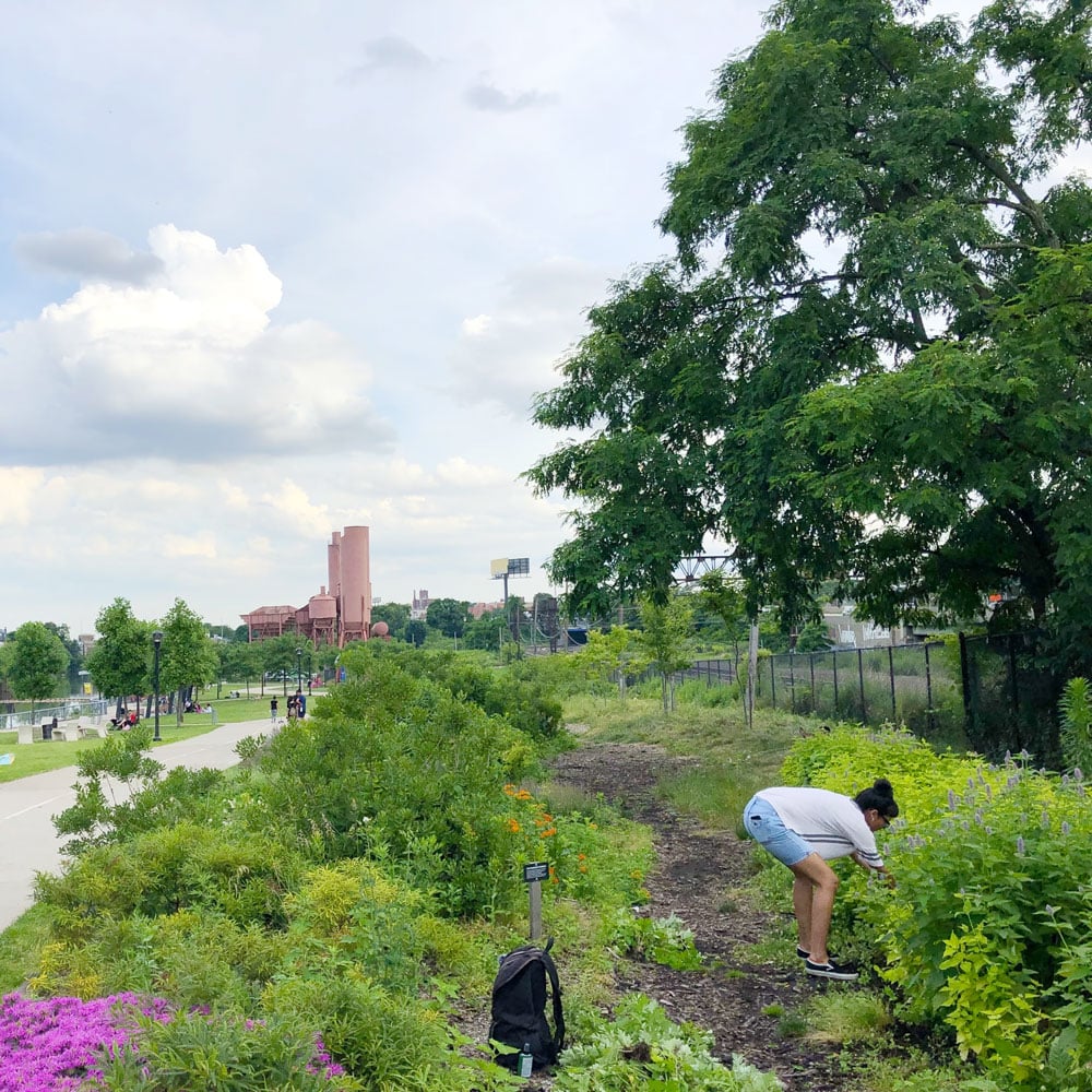
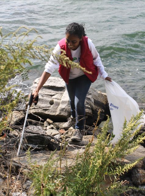
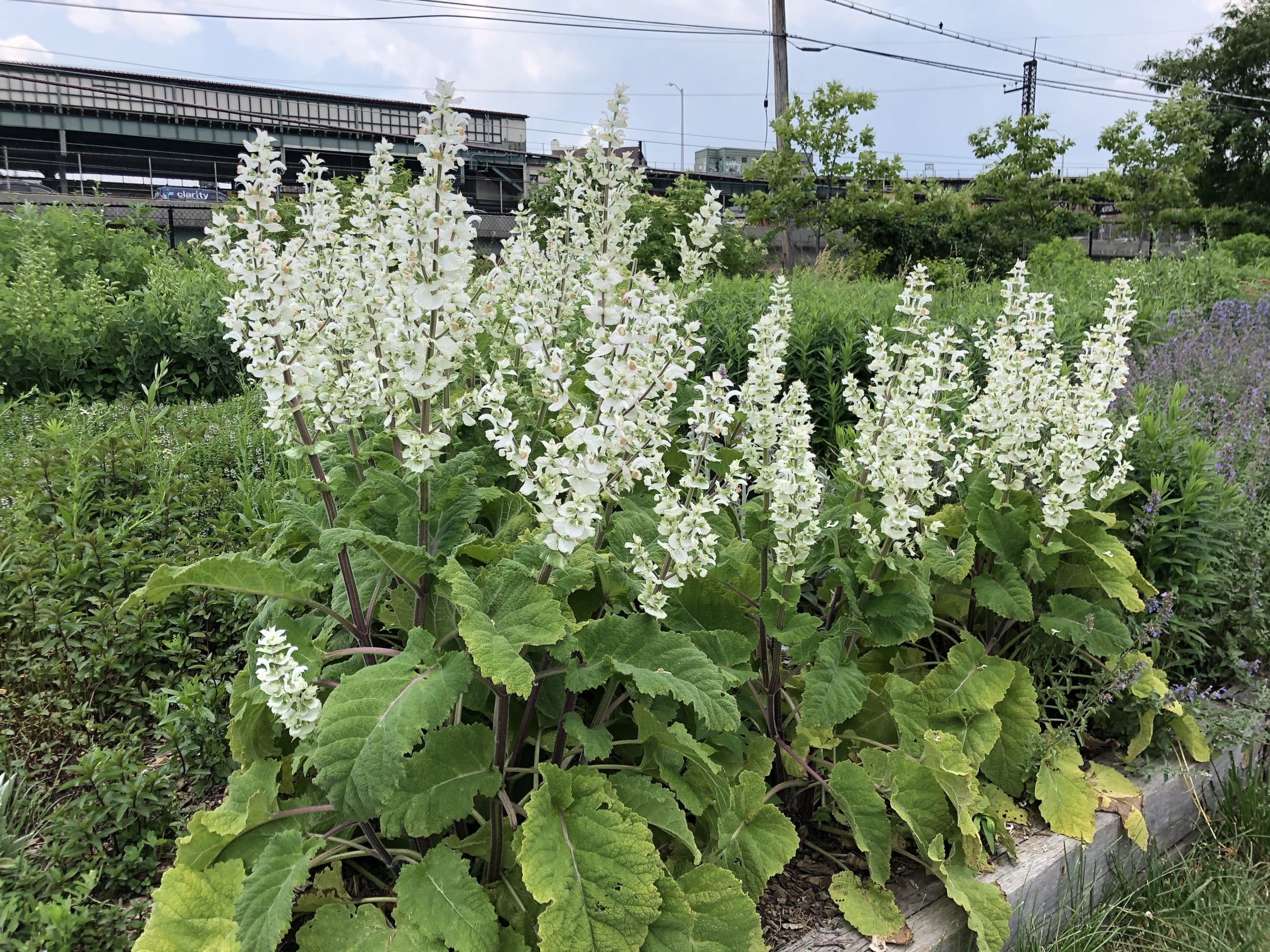
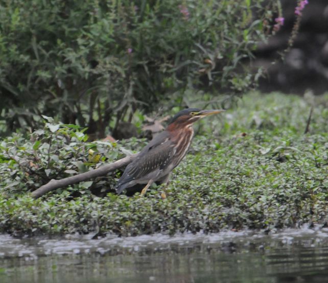
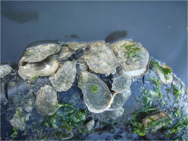
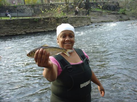
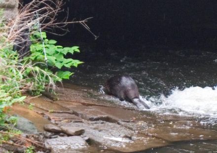
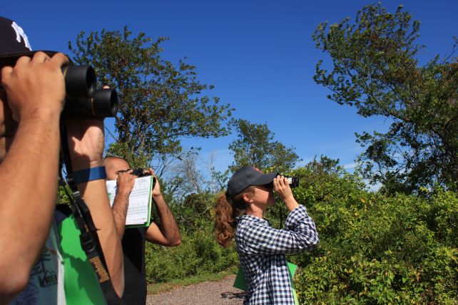
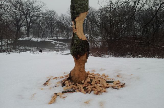
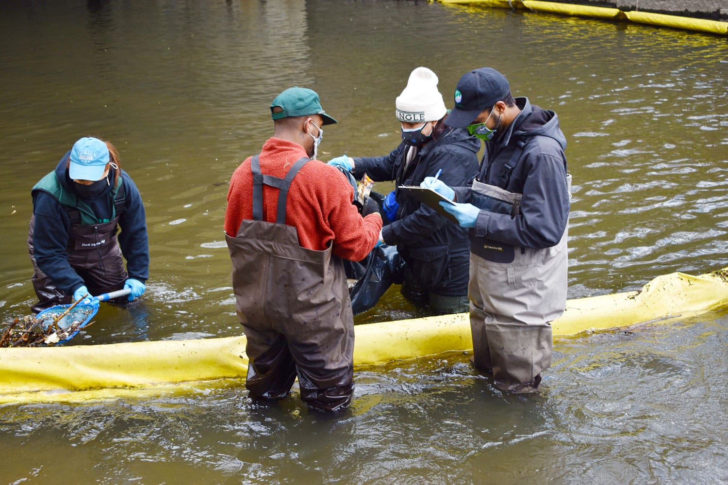
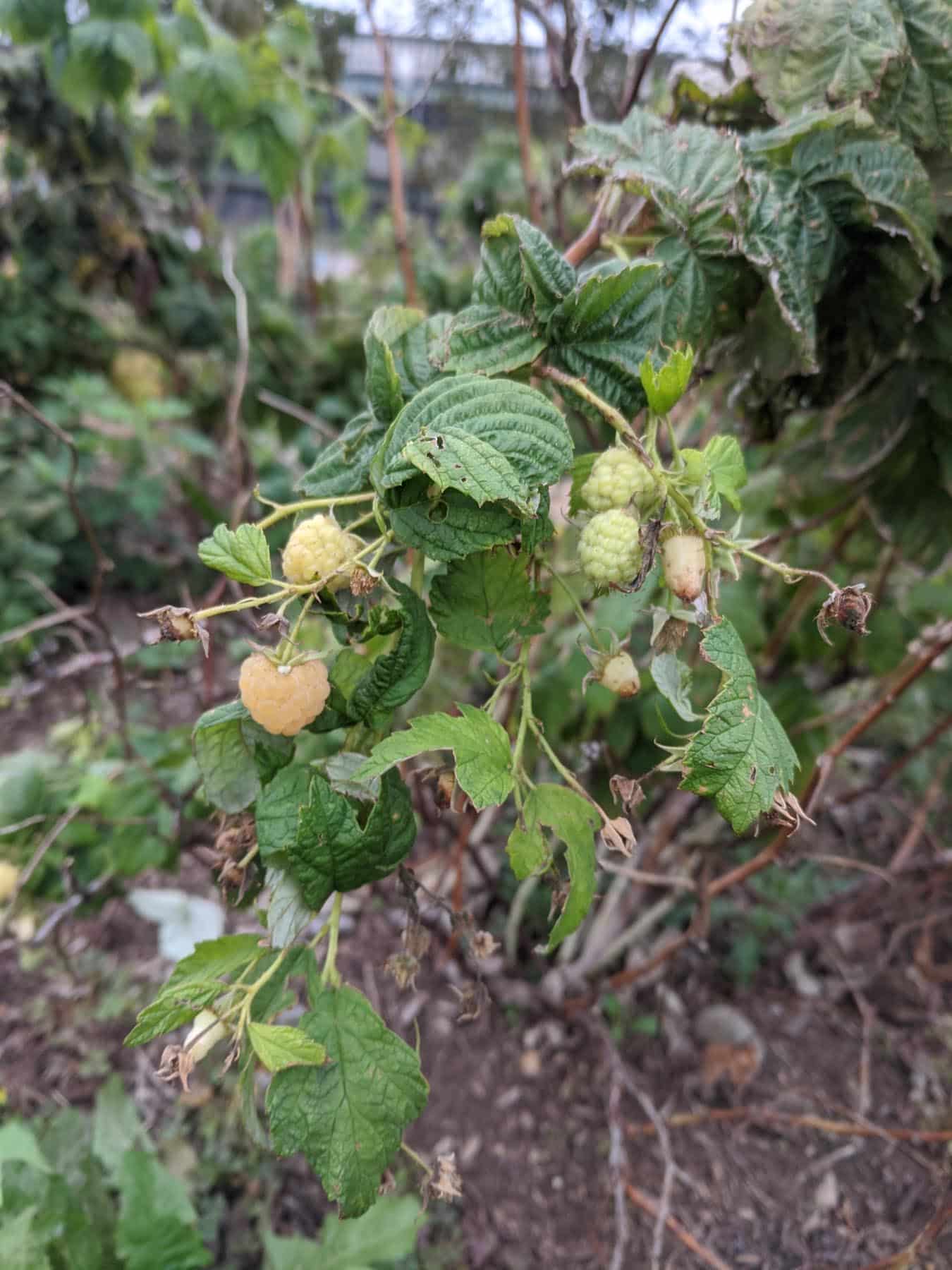
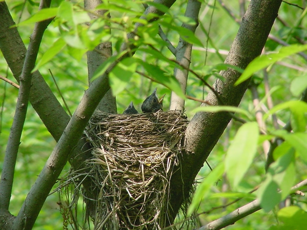
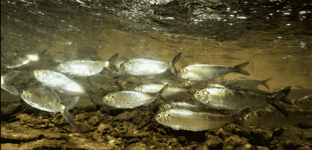
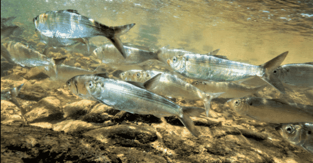
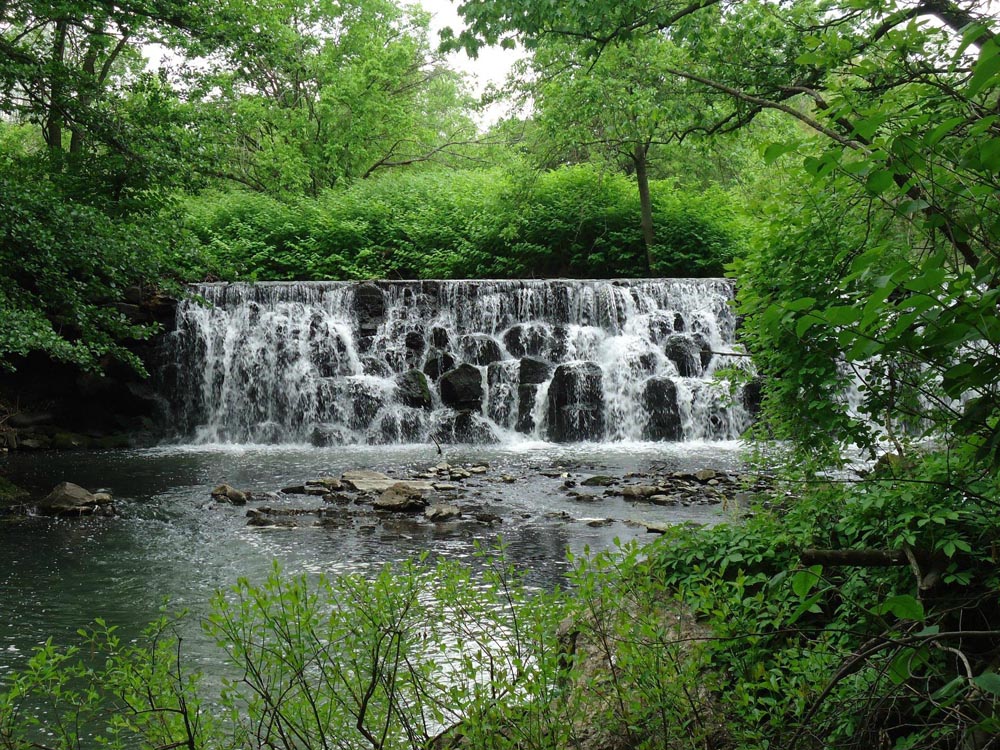
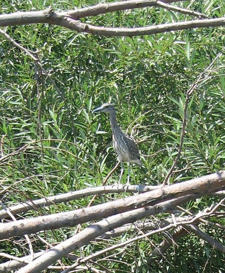
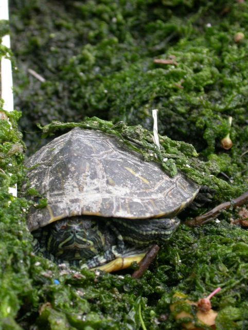
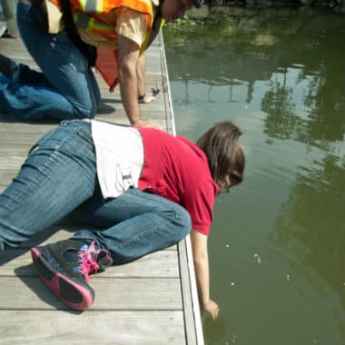
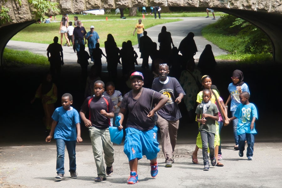
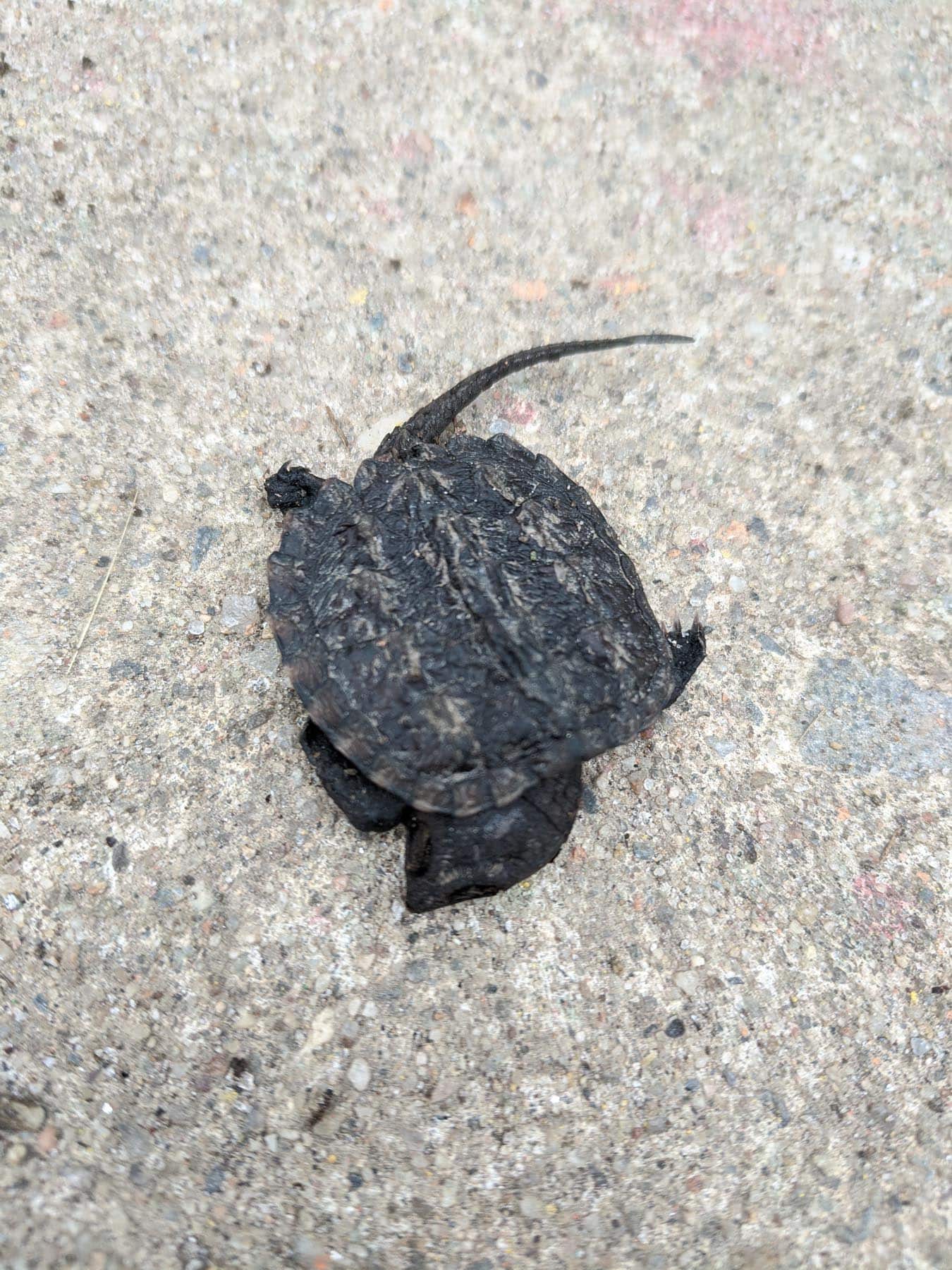
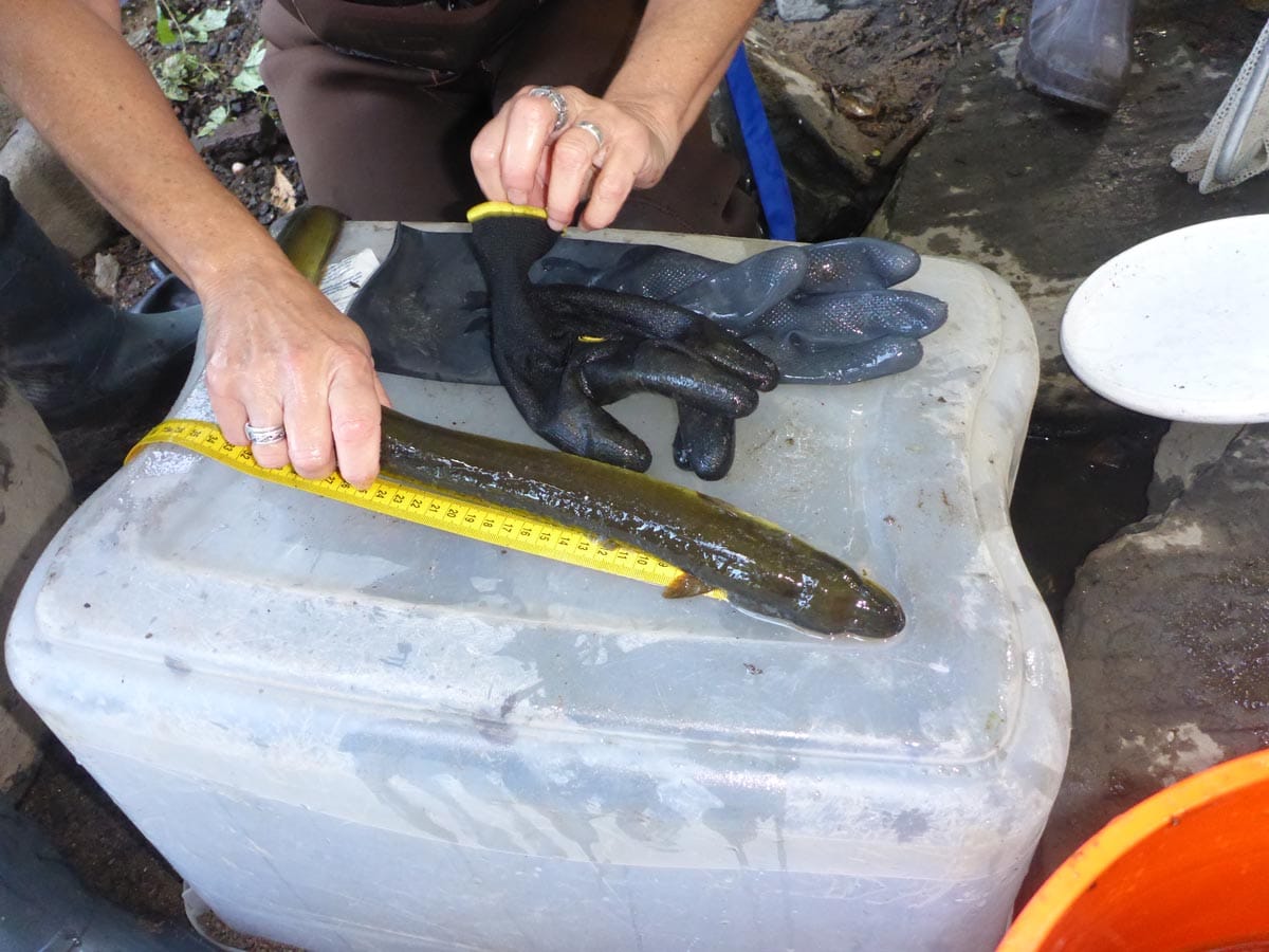
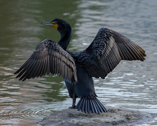
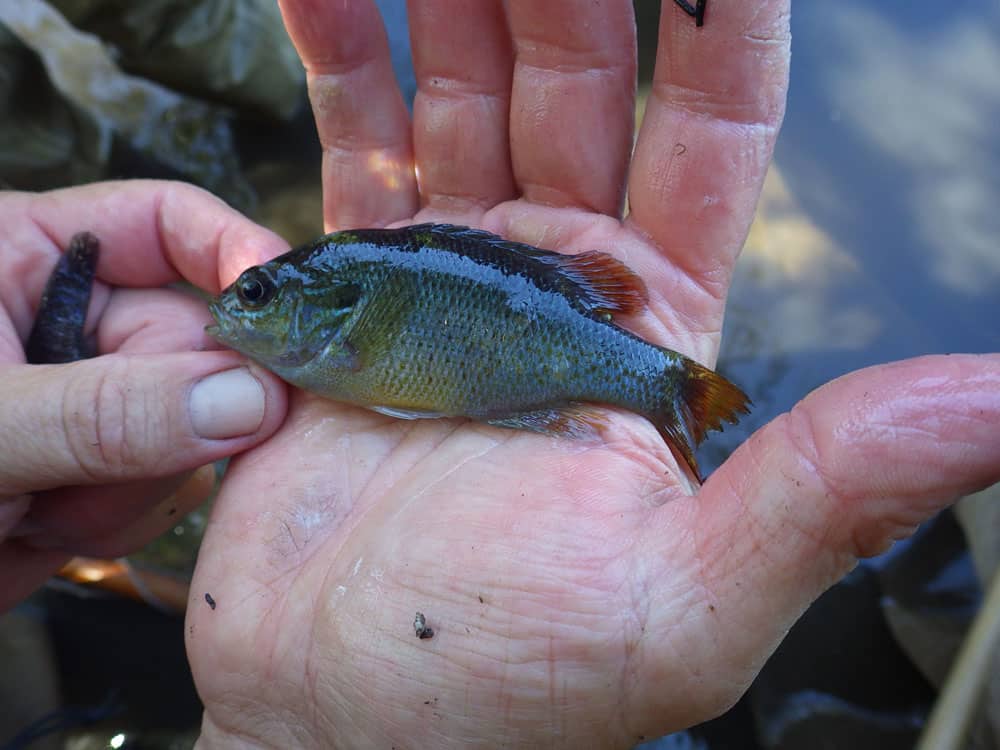
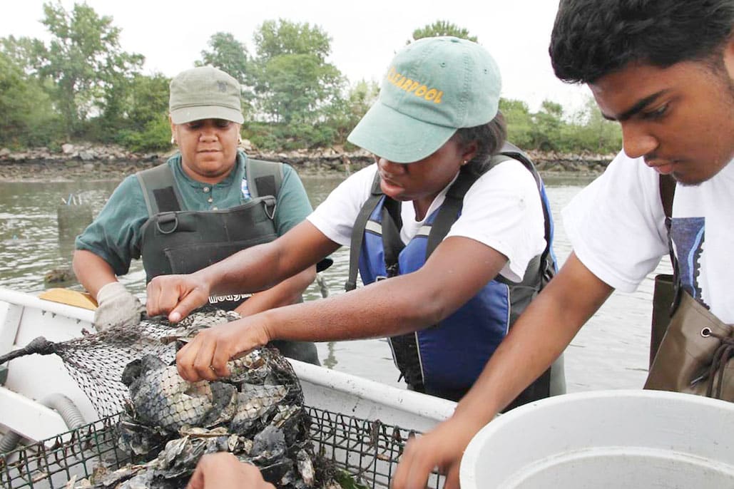
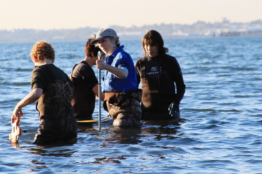
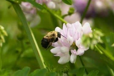
After decades of restoration, the Bronx river is now an ecosystem that is teeming with life. Seeing wildlife? Submit your own pictures by sending an email to ecology@bronxriver.org.